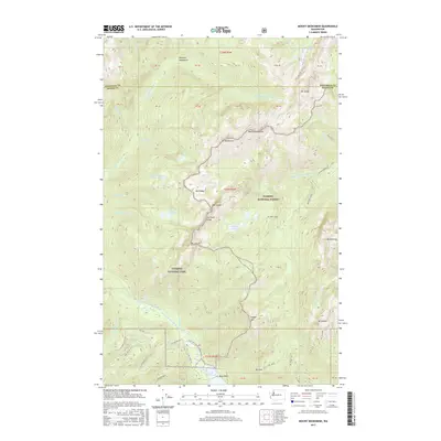
2017 Map of Mount Skokomish
USGS Topo · Published 2017About this map
Lake Cushman and the surrounding peaks of the Olympic Mountains dominate this high-elevation landscape along the border of Jefferson and Mason Counties. The map documents a heavily protected wilderness area divided between Olympic National Park and Olympic National Forest, where steep ridgelines like Sawtooth Ridge separate drainage basins. This modern topographic record shows the intricate network of glacial lakes and high-alpine tarns, including the Black and White Lakes, Flapjack Lakes, and Murdock Lakes. These water bodies feed the dramatic descent of the Hamma Hamma River and the North Fork Skokomish River. The map is particularly useful for tracking access routes into the backcountry, such as the Dry Creek Trl and various forest roads like Nat For Dev Rd 24, which provide the primary entry points for exploring summits like Mount Skokomish and Mt Rose.
Find a feature on this map
65 named features on this map. Tap any name to fly to it.
Don’t see what you’re looking for? This feature index may not catch every label — zoom into the map to look around manually.
Map Details
Editions of this 2017 Mount Skokomish Map
This is the sole edition of this map. No revisions or reprints were ever made.
Other maps of this area
1938 · Mt Constance
USGS Topo · 1:125,000
1943 · Potlatch
USGS Topo · 1:62,500
1947 · The Brothers
USGS Topo · 1:62,500
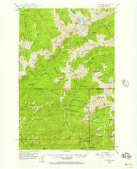
1947 · Mt. Steel
USGS Topo · 1:62,500
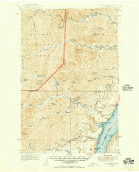
1950 · The Brothers
USGS Topo · 1:62,500
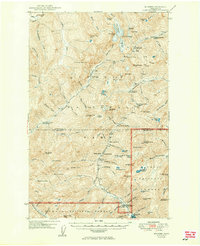
1950 · Mt. Steel
USGS Topo · 1:62,500
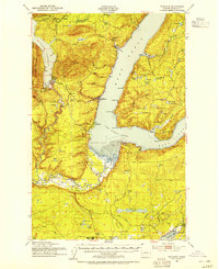
1952 · Potlatch
USGS Topo · 1:62,500
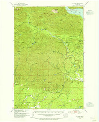
1953 · Mt Tebo
USGS Topo · 1:62,500
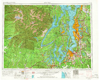
1958 · Seattle
USGS Topo · 1:250,000
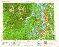
1962 · Seattle
USGS Topo · 1:250,000