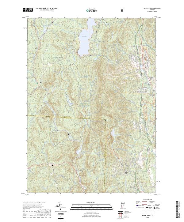
2024 Map of Mount Snow
USGS Topo · Published 2024About this map
Green Mountain recreation and watershed management dominate this Southern Vermont landscape, where the Somerset Reservoir and Searsburg Reservoir collect the flow of the Deerfield River and its numerous mountain tributaries. The terrain is marked by the prominent peaks of Mt Snow and Haystack Mtn, with the Green Mountain National Forest encompassing much of the high ground. Settlement is concentrated along the river valleys and the state highway corridors, particularly around Searsburg and the residential developments of Chimney Hill.
Find a feature on this map
92 named features on this map. Tap any name to fly to it.
Don’t see what you’re looking for? This feature index may not catch every label — zoom into the map to look around manually.
Map Details
Editions of this 2024 Mount Snow Map
This is the sole edition of this map. No revisions or reprints were ever made.
Other maps of this area

1889 · Wilmington
USGS Topo · 1:62,500

1891 · Wilmington
USGS Topo · 1:62,500

1894 · Londonderry
USGS Topo · 1:62,500

1894 · Equinox
USGS Topo · 1:62,500

1896 · Equinox
USGS Topo · 1:62,500

1898 · Bennington
USGS Topo · 1:62,500

1899 · Londonderry
USGS Topo · 1:62,500

1899 · Wilmington
USGS Topo · 1:62,500

1900 · Taconic
USGS Topo · 1:125,000

1900 · Equinox
USGS Topo · 1:62,500