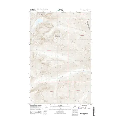
2014 Map of Mount Spickard
USGS Topo · Published 2014About this map
Mount Spickard and Mount Rahm dominate this high-altitude landscape along the border of the United States of America and Canada. The terrain is characterized by a dense network of glacial drainages including Silver Creek, Perry Creek, and Little Beaver Creek. This area of Whatcom County is primarily managed as wilderness, falling within the boundaries of North Cascades National Park and the Ross Lake National Recreation Area.
Find a feature on this map
24 named features on this map. Tap any name to fly to it.
Don’t see what you’re looking for? This feature index may not catch every label — zoom into the map to look around manually.
Map Details
Editions of this 2014 Mount Spickard Map
This is the sole edition of this map. No revisions or reprints were ever made.
Other maps of this area
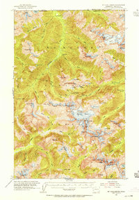
1953 · Mt Challenger
USGS Topo · 1:62,500

1955 · Concrete
USGS Topo · 1:250,000

1958 · Concrete
USGS Topo · 1:250,000

1962 · Concrete
USGS Topo · 1:250,000
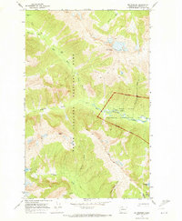
1969 · Mt Prophet
USGS Topo · 1:24,000
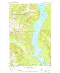
1969 · Pumpkin Mtn.
USGS Topo · 1:24,000
1969 · Hozomeen Mtn
USGS Topo · 1:24,000
1969 · Mt Spickard
USGS Topo · 1:24,000
1979 · Mt. Baker
USGS Topo · 1:100,000
1989 · Mt Challenger
USGS Topo · 1:24,000