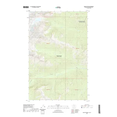
2020 Map of Mount Spickard
USGS Topo · Published 2020About this map
North Cascades National Park defines the high-altitude landscape of this Whatcom County survey, where the international boundary meets a jagged collection of summits and glacial drainages. Mount Spickard and Mount Rahm anchor the western terrain, flanking the prominent Custer Ridge and the high waters of Silver Lake. The map details a complex network of alpine watersheds, including the headwaters of Little Beaver Creek and the southern flow of Silver Cr as it moves toward the Ross Lake National Recreation Area. These drainages, such as Redoubt Cr and Perry Cr, cut deep through the land, illustrating the natural barriers that have preserved this region as a protected wilderness. The absence of roads or permanent human settlements emphasizes the primary role of the landscape as a conservation and recreation corridor at the edge of the Canadian border.
Find a feature on this map
29 named features on this map. Tap any name to fly to it.
Don’t see what you’re looking for? This feature index may not catch every label — zoom into the map to look around manually.
Map Details
Editions of this 2020 Mount Spickard Map
This is the sole edition of this map. No revisions or reprints were ever made.
Other maps of this area
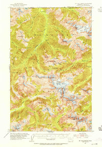
1953 · Mt Challenger
USGS Topo · 1:62,500

1955 · Concrete
USGS Topo · 1:250,000

1958 · Concrete
USGS Topo · 1:250,000

1962 · Concrete
USGS Topo · 1:250,000
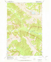
1969 · Mt Prophet
USGS Topo · 1:24,000
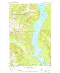
1969 · Pumpkin Mtn.
USGS Topo · 1:24,000
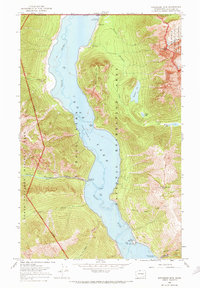
1969 · Hozomeen Mtn
USGS Topo · 1:24,000
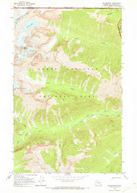
1969 · Mt Spickard
USGS Topo · 1:24,000
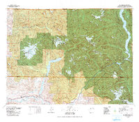
1979 · Mt. Baker
USGS Topo · 1:100,000
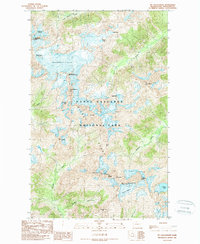
1989 · Mt Challenger
USGS Topo · 1:24,000