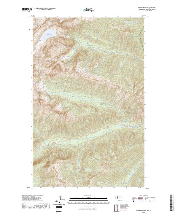
2023 Map of Mount Spickard
USGS Topo · Published 2023About this map
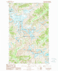
Mt Spickard and Mt Rahm dominate the high-elevation landscape of Whatcom County, situated within a vast protected corridor along the Canadian border. This high-alpine region is defined by the sharp elevations of Custer Ridge and the glacial waters of Silver Lake, feeding a complex drainage system that includes Silver Creek and Perry Creek. The map documents the overlap of significant federal land designations, including North Cascades National Park, the Stephen Mather Wilderness, and the Ross Lake National Recreation Area. For those tracing historical access, the Little Beaver Trl follows the course of Little Beaver Creek, providing one of the few established routes through this steep terrain. The presence of numerous named waterways like Mist Creek and Arctic Creek underscores the hydrological importance of this wilderness area at the headwaters of the regional watershed.
Find a feature on this map
28 named features on this map. Tap any name to fly to it.
Don’t see what you’re looking for? This feature index may not catch every label — zoom into the map to look around manually.
Map Details
Editions of this 2023 Mount Spickard Map
This is the sole edition of this map. No revisions or reprints were ever made.
Other maps of this area

1953 · Mt Challenger
USGS Topo · 1:62,500

1955 · Concrete
USGS Topo · 1:250,000

1958 · Concrete
USGS Topo · 1:250,000

1962 · Concrete
USGS Topo · 1:250,000

1969 · Mt Prophet
USGS Topo · 1:24,000
1969 · Pumpkin Mtn.
USGS Topo · 1:24,000
1969 · Hozomeen Mtn
USGS Topo · 1:24,000
1969 · Mt Spickard
USGS Topo · 1:24,000

1979 · Mt. Baker
USGS Topo · 1:100,000
1989 · Mt Challenger
USGS Topo · 1:24,000