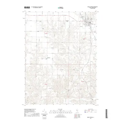
2018 Map of Mount Sterling
USGS Topo · Published 2018About this map
Mount Sterling serves as the focal point of this Illinois survey, showcasing the town's grid and the nearby Mount Sterling Municipal Airport. The landscape is defined by the deep dissection of drainage basins including Dry Fork and McKee Creek, which carve through the rural countryside. Small unincorporated settlements like Fargo and Buckhorn are visible, connected by an extensive network of secondary roads such as Co RD 1000 N.
Find a feature on this map
79 named features on this map. Tap any name to fly to it.
Don’t see what you’re looking for? This feature index may not catch every label — zoom into the map to look around manually.
Map Details
Editions of this 2018 Mount Sterling Map
This is the sole edition of this map. No revisions or reprints were ever made.
Other maps of this area
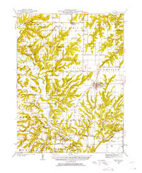
1923 · Rushville
USGS Topo · 1:62,500
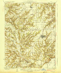
1926 · Rushville
USGS Topo · 1:62,500
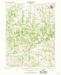
1926 · Mt Sterling
USGS Topo · 1:62,500
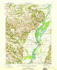
1928 · Meredosia
USGS Topo · 1:62,500
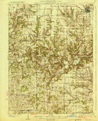
1929 · Mt Sterling
USGS Topo · 1:62,500
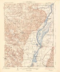
1931 · Meredosia
USGS Topo · 1:62,500
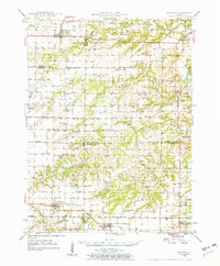
1946 · Augusta
USGS Topo · 1:62,500
1948 · Quincy
USGS Topo · 1:250,000
1949 · Augusta
USGS Topo · 1:62,500
1956 · Quincy
USGS Topo · 1:250,000