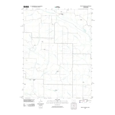
2010 Map of Mount Sterling
USGS Topo · Published 2010About this map
Mount Sterling sits at the northern edge of this survey where Laurel Rd crosses the Fox River. This rural landscape along the Iowa-Missouri border is defined by a dense network of watercourses and family-named landmarks that offer significant value for genealogical research. The terrain is partitioned by numerous small tributaries, including the Burnt Shirt Branch, Wolf Branch, and the meandering Little Fox River, which flows toward the southern settlement of Prospect Grove.
Find a feature on this map
39 named features on this map. Tap any name to fly to it.
Don’t see what you’re looking for? This feature index may not catch every label — zoom into the map to look around manually.
Map Details
Editions of this 2010 Mount Sterling Map
This is the sole edition of this map. No revisions or reprints were ever made.
Other maps of this area

1903 · Kahoka
USGS Topo · 1:125,000

1903 · Edina
USGS Topo · 1:125,000

1950 · Medill
USGS Topo · 1:24,000

1951 · Medill
USGS Topo · 1:24,000

1951 · Wyaconda
USGS Topo · 1:24,000

1954 · Centerville
USGS Topo · 1:250,000

1957 · Centerville
USGS Topo · 1:250,000

1958 · Centerville
USGS Topo · 1:250,000

1958 · Burlington
USGS Topo · 1:250,000

1961 · Burlington
USGS Topo · 1:250,000