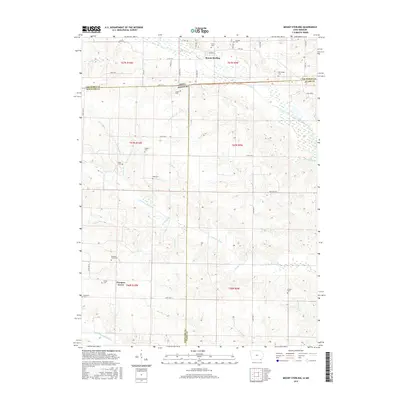
2015 Map of Mount Sterling
USGS Topo · Published 2015About this map
Mount Sterling, Iowa, sits at a unique geographical and political intersection where Van Buren County, Iowa, meets both Scotland and Clark counties in Missouri. The Fox River meanders through the northern section of the map, while the southern landscape is defined by the Little Fox River and a dense network of tributaries including Turkey Branch and Pilcher Branch. This drainage pattern created a dissected terrain that shaped early settlement and road placement throughout the border region.
Find a feature on this map
57 named features on this map. Tap any name to fly to it.
Don’t see what you’re looking for? This feature index may not catch every label — zoom into the map to look around manually.
Map Details
Editions of this 2015 Mount Sterling Map
This is the sole edition of this map. No revisions or reprints were ever made.
Other maps of this area

1903 · Kahoka
USGS Topo · 1:125,000

1903 · Edina
USGS Topo · 1:125,000

1950 · Medill
USGS Topo · 1:24,000

1951 · Medill
USGS Topo · 1:24,000

1951 · Wyaconda
USGS Topo · 1:24,000

1954 · Centerville
USGS Topo · 1:250,000

1957 · Centerville
USGS Topo · 1:250,000

1958 · Centerville
USGS Topo · 1:250,000

1958 · Burlington
USGS Topo · 1:250,000

1961 · Burlington
USGS Topo · 1:250,000