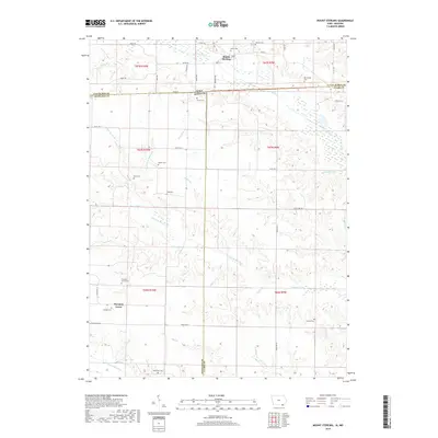
2018 Map of Mount Sterling
USGS Topo · Published 2018About this map
The Fox River meanders across this rural borderland between Van Buren County, Iowa, and the Missouri counties of Scotland and Clark. This 2018 survey reveals a landscape deeply rooted in its agricultural and family history, anchored by the village of Mount Sterling near the northern edge. The area is notable for its high density of small family cemeteries, suggesting a stable, multi-generational population. These include sites such as Harness Cem, Miller Cem, and Blackledge Cem. Further south, the community of Prospect Grove is situated near Prospect Grove Cem and Gorgas Cem. The topography is defined by a dense network of tributaries like the Little Fox River, Hughes Br, and Jordan Br, which carve through the terrain before reaching the N Wyaconda River at the map's southern boundary.
Find a feature on this map
59 named features on this map. Tap any name to fly to it.
Don’t see what you’re looking for? This feature index may not catch every label — zoom into the map to look around manually.
Map Details
Editions of this 2018 Mount Sterling Map
This is the sole edition of this map. No revisions or reprints were ever made.
Other maps of this area

1903 · Kahoka
USGS Topo · 1:125,000

1903 · Edina
USGS Topo · 1:125,000

1950 · Medill
USGS Topo · 1:24,000

1951 · Medill
USGS Topo · 1:24,000

1951 · Wyaconda
USGS Topo · 1:24,000

1954 · Centerville
USGS Topo · 1:250,000

1957 · Centerville
USGS Topo · 1:250,000

1958 · Centerville
USGS Topo · 1:250,000

1958 · Burlington
USGS Topo · 1:250,000

1961 · Burlington
USGS Topo · 1:250,000