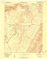
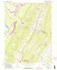
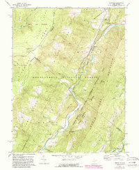
1951 Map of Mount Storm
USGS Topo · Published 1951This historical map portrays the area of Mount Storm in 1951, primarily covering Grant County as well as portions of Maryland. Featuring a scale of 1:24000, this map provides a highly detailed snapshot of the terrain, roads, buildings, counties, and historical landmarks in the Mount Storm region at the time. Published in 1951, it is the sole known edition of this map.
Find a feature on this map
46 named features on this map. Tap any name to fly to it.
Don’t see what you’re looking for? This feature index may not catch every label — zoom into the map to look around manually.
Map Details
Editions of this 1951 Mount Storm Map
This is the sole edition of this map. No revisions or reprints were ever made.
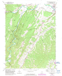
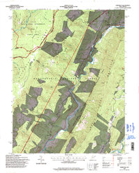
Historical Maps of Hartmansville Through Time
16 maps found
1921 Greenland Gap
Grant County, WV
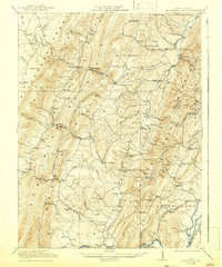
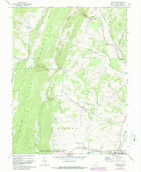
1949 Mount Storm
Grant County, WV
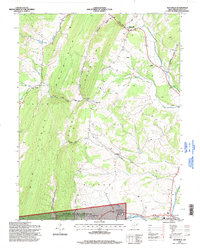
1951 Mount Storm
Grant County, WV
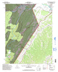
1967 Blackbird Knob
Grant County, WV
1967 Greenland Gap
Grant County, WV
1967 Maysville
Grant County, WV
1967 Medley
Grant County, WV
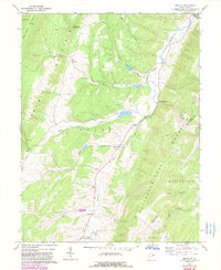
1967 Mount Storm Lake
Grant County, WV
1969 Hopeville
Grant County, WV
1969 Petersburg West
Grant County, WV
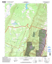
1995 Blackbird Knob
Grant County, WV
1995 Hopeville
Grant County, WV
1995 Maysville
Grant County, WV
1995 Petersburg West
Grant County, WV
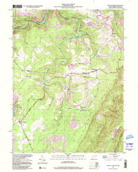
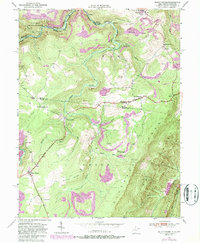
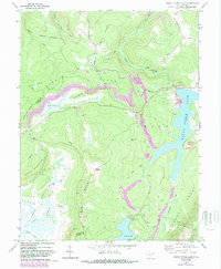
1997 Mount Storm
Grant County, WV
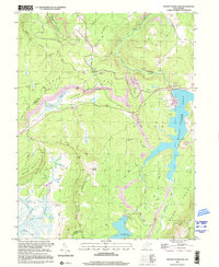
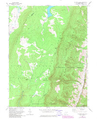
1997 Mount Storm Lake
Grant County, WV