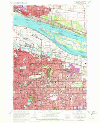
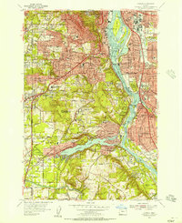
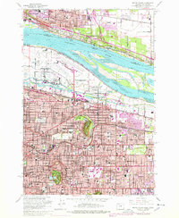
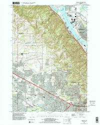
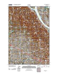
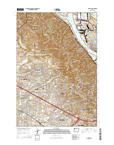
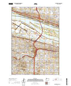
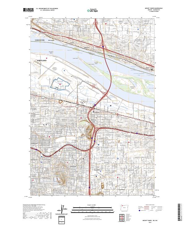
1961 Map of Mount Tabor
USGS Topo · Published 1971About this map
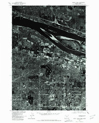
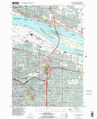
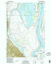
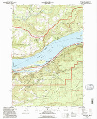
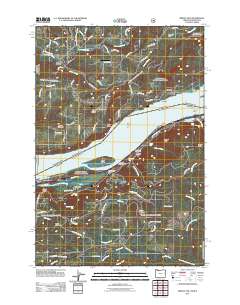
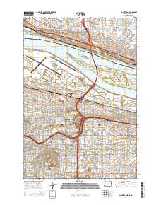
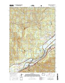
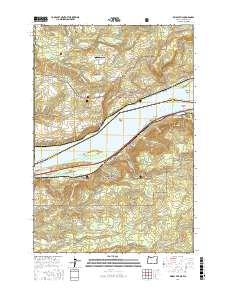
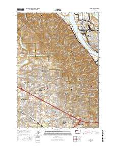
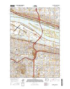
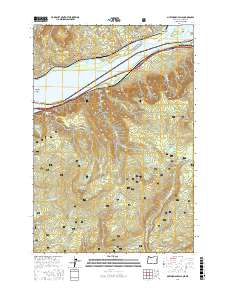
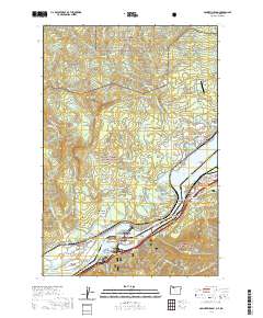
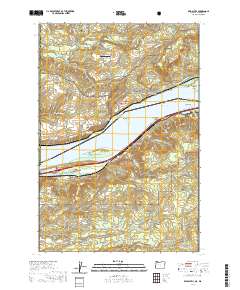
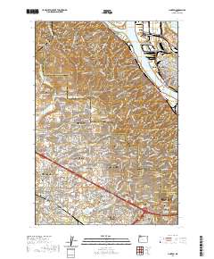
The Columbia River serves as the dominant geographic divide on this 1961 survey, separating Vancouver in Washington from the expanding urban districts of East Portland. Distinctive volcanic landforms like Mount Tabor and Rocky Butte punctuate the grid of the city, providing elevated relief above the densely settled neighborhoods of Parkrose, Montavilla, and Hollywood. The mid-century infrastructure is well-defined by the massive footprint of the Portland International Airport and Portland Air Force Base adjacent to the Columbia Slough.
Find a feature on this map
64 named features on this map. Tap any name to fly to it.
Don’t see what you’re looking for? This feature index may not catch every label — zoom into the map to look around manually.
Map Details
Editions of this 1961 Mount Tabor Map
3 editions found
Historical Maps of Portland Through Time
56 maps found
1954 Linnton
Multnomah County, OR
1954 Mount Tabor
Multnomah County, OR
1954 Oswego
Multnomah County, OR
1954 Sauvie Island
Multnomah County, OR
1957 Bonneville Dam
Multnomah County, OR
1961 Linnton
Multnomah County, OR
1961 Mount Tabor
Multnomah County, OR
1961 Sauvie Island
Multnomah County, OR
1975 Linnton
Multnomah County, OR
1975 Mount Tabor
Multnomah County, OR
1976 Mount Tabor
Multnomah County, OR
1979 Tanner Butte
Multnomah County, OR
1986 Bridal Veil
Multnomah County, OR
1986 Multnomah Falls
Multnomah County, OR
1990 Linnton
Multnomah County, OR
1990 Mount Tabor
Multnomah County, OR
1990 Sauvie Island
Multnomah County, OR
1994 Bridal Veil
Multnomah County, OR
1994 Multnomah Falls
Multnomah County, OR
1994 Tanner Butte
Multnomah County, OR
2011 Bonneville Dam
Multnomah County, OR
2011 Bridal Veil
Multnomah County, OR
2011 Linnton
Multnomah County, OR
2011 Mount Tabor
Multnomah County, OR
2011 Multnomah Falls
Multnomah County, OR
2011 Sauvie Island
Multnomah County, OR
2011 Tanner Butte
Multnomah County, OR
2014 Bonneville Dam
Multnomah County, OR
2014 Bridal Veil
Multnomah County, OR
2014 Linnton
Multnomah County, OR
2014 Mount Tabor
Multnomah County, OR
2014 Multnomah Falls
Multnomah County, OR
2014 Sauvie Island
Multnomah County, OR
2014 Tanner Butte
Multnomah County, OR
2017 Bonneville Dam
Multnomah County, OR
2017 Bridal Veil
Multnomah County, OR
2017 Linnton
Multnomah County, OR
2017 Mount Tabor
Multnomah County, OR
2017 Multnomah Falls
Multnomah County, OR

2017 Sauvie Island
Multnomah County, OR

2017 Tanner Butte
Multnomah County, OR
2020 Bonneville Dam
Multnomah County, OR
2020 Bridal Veil
Multnomah County, OR
2020 Linnton
Multnomah County, OR
2020 Mount Tabor
Multnomah County, OR
2020 Multnomah Falls
Multnomah County, OR
2020 Sauvie Island
Multnomah County, OR
2020 Tanner Butte
Multnomah County, OR
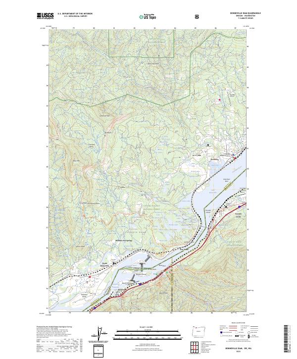
2023 Bonneville Dam
Multnomah County, OR
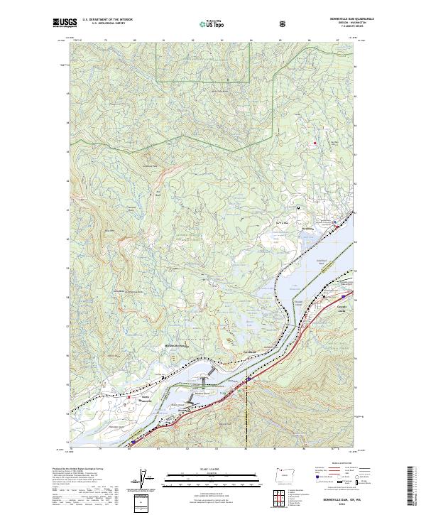
2024 Bonneville Dam
Multnomah County, OR
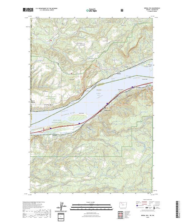
2024 Bridal Veil
Multnomah County, OR
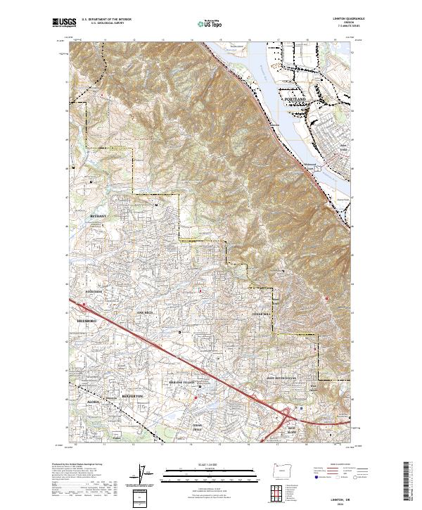
2024 Linnton
Multnomah County, OR
2024 Mount Tabor
Multnomah County, OR
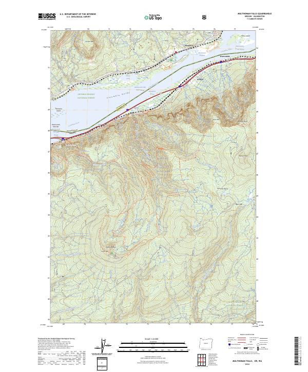
2024 Multnomah Falls
Multnomah County, OR
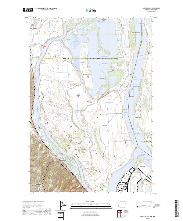
2024 Sauvie Island
Multnomah County, OR
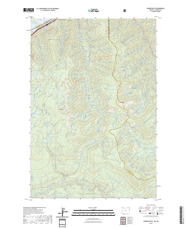
2024 Tanner Butte
Multnomah County, OR