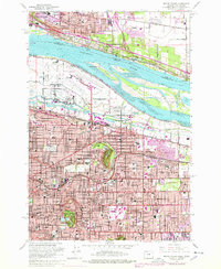
1961 Map of Mount Tabor
USGS Topo · Published 1978About this map
Columbia River traffic and the expanding footprint of the Portland International Airport dominate the northern landscape of this mid-century survey. The terrain transitions from the river's Lemon Island and Government Island toward the residential grids of Northeast Portland, where geologic landmarks like Mount Tabor and Rocky Butte break the urban pattern. The map documents a period of significant infrastructure development, featuring the Banfield Expressway and the Portland Air Force Base alongside older established neighborhoods such as Laurelhurst and Hollywood. Local institutions are densely recorded, including the Morningside Hospital, the Parkrose Cem, and numerous parochial schools like St Joseph Sch. The southern half of the map illustrates the growing suburban density around Montavilla and Powellhurst, showing how the Union Pacific and Spokane Portland and Seattle RY shaped the industrial and residential development of the era.
Find a feature on this map
96 named features on this map. Tap any name to fly to it.
Don’t see what you’re looking for? This feature index may not catch every label — zoom into the map to look around manually.
Map Details
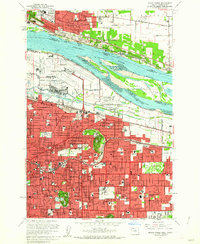
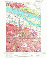
Editions of this 1961 Mount Tabor Map
3 editions found
Other maps of this area

1897 · Portland
USGS Topo · 1:62,500

1905 · Portland
USGS Topo · 1:62,500

1911 · Boring
USGS Topo · 1:48,000

1914 · Boring
USGS Topo · 1:62,500

1914 · Oregon City
USGS Topo · 1:62,500

1916 · Estacada
USGS Topo · 1:125,000

1918 · Troutdale
USGS Topo · 1:62,500

1934 · Troutdale
USGS Topo · 1:48,000

1939 · Oregon City
USGS Topo · 1:62,500

1940 · Boring
USGS Topo · 1:62,500