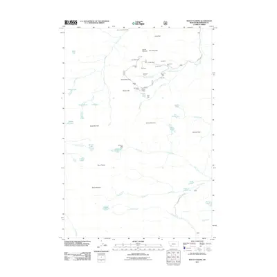
2011 Map of Mount Tahepia
USGS Topo · Published 2011About this map
Hecla Mines and a dense cluster of high-altitude extraction sites define the northern reaches of this Beaverhead County landscape. Clustered around Lion Mountain and Cleve Mountain, operations like the Cleopatra Mine, True Blue Mine, and Franklin Mine reveal a legacy of mountain-side prospecting. The terrain is marked by steep peaks, including Mount Tahepia and Brownes Peak, with drainage systems like Canyon Creek and Trapper Creek cutting through the valleys. While the area is dominated by industrial history and mountain terrain, the Canyon Creek Guest Ranch and various alpine lakes such as Vera Lake and Tahepia Lake suggest a transition toward recreation and land management by the early 21st century.
Find a feature on this map
56 named features on this map. Tap any name to fly to it.
Don’t see what you’re looking for? This feature index may not catch every label — zoom into the map to look around manually.
Map Details
Editions of this 2011 Mount Tahepia Map
This is the sole edition of this map. No revisions or reprints were ever made.
Other maps of this area

1893 · Dillon
USGS Topo · 1:250,000

1952 · Twin Adams Mountain
USGS Topo · 1:24,000

1952 · Torrey Mountain
USGS Topo · 1:24,000

1955 · Dillon
USGS Topo · 1:250,000

1957 · Dillon
USGS Topo · 1:250,000

1958 · Dillon
USGS Topo · 1:250,000

1958 · Vipond Park
USGS Topo · 1:62,500

1959 · Polaris
USGS Topo · 1:62,500

1962 · Dillon
USGS Topo · 1:250,000

1965 · Dillon
USGS Topo · 1:250,000