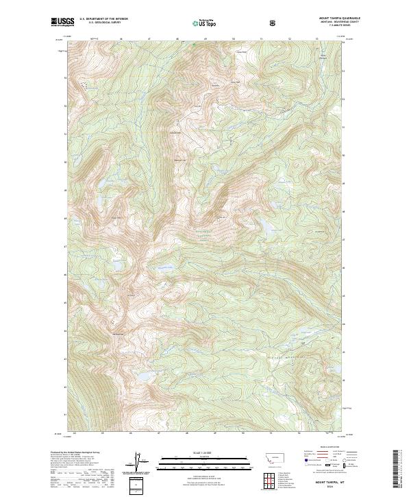
2024 Map of Mount Tahepia
USGS Topo · Published 2024About this map
The Pioneer Mountains define this high-elevation landscape within the Beaverhead National Forest, where a network of glacial lakes and rugged peaks dominates the topography. High-altitude landmarks like Mt Tahepia and Mt Alverson overlook a series of alpine basins containing Tahepia Lake, Waukena Lake, and the Schulz Lakes. The hydrology of the area is characterized by drainage systems like Canyon Creek and Trapper Creek, which flow through steep-walled valleys separated by prominent massifs such as Lion Mtn and Keokirk Mtn.
Find a feature on this map
62 named features on this map. Tap any name to fly to it.
Don’t see what you’re looking for? This feature index may not catch every label — zoom into the map to look around manually.
Map Details
Editions of this 2024 Mount Tahepia Map
This is the sole edition of this map. No revisions or reprints were ever made.
Other maps of this area

1893 · Dillon
USGS Topo · 1:250,000

1952 · Twin Adams Mountain
USGS Topo · 1:24,000

1952 · Torrey Mountain
USGS Topo · 1:24,000

1955 · Dillon
USGS Topo · 1:250,000

1957 · Dillon
USGS Topo · 1:250,000

1958 · Dillon
USGS Topo · 1:250,000

1958 · Vipond Park
USGS Topo · 1:62,500

1959 · Polaris
USGS Topo · 1:62,500

1962 · Dillon
USGS Topo · 1:250,000

1965 · Dillon
USGS Topo · 1:250,000