
2011 Map of Mount Taylor
USGS Topo · Published 2011About this map
Mount Taylor dominates this high-altitude landscape in Cibola County, an area defined by its deep drainages and vital water sources. The map illustrates a transition from the peaks down through dramatic landforms like Water Canyon, Timber Canyon, and Castillo Canyon. While the terrain is primarily natural, the presence of the Mount Taylor Mine and the Tso-Dzil Ranch indicates the region's enduring connection to New Mexico's resource-based and ranching economies.
Find a feature on this map
19 named features on this map. Tap any name to fly to it.
Don’t see what you’re looking for? This feature index may not catch every label — zoom into the map to look around manually.
Map Details
Editions of this 2011 Mount Taylor Map
This is the sole edition of this map. No revisions or reprints were ever made.
Other maps of this area
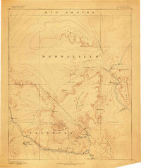
1883 · Mt. Taylor
USGS Topo · 1:250,000
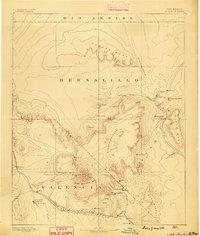
1886 · Mt. Taylor
USGS Topo · 1:250,000
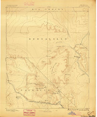
1892 · Mt. Taylor
USGS Topo · 1:250,000
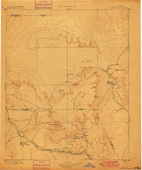
1899 · Mt. Taylor
USGS Topo · 1:250,000
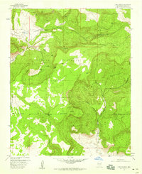
1957 · Lobo Springs
USGS Topo · 1:24,000
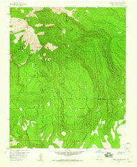
1957 · Mount Taylor
USGS Topo · 1:24,000
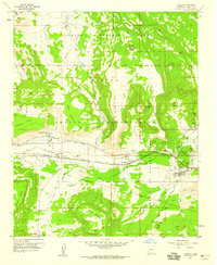
1957 · Laguna
USGS Topo · 1:24,000
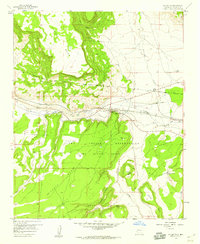
1957 · Mc Cartys
USGS Topo · 1:24,000
1957 · Cubero
USGS Topo · 1:24,000
1957 · Seboyeta
USGS Topo · 1:24,000