
2013 Map of Mount Taylor
USGS Topo · Published 2013About this map
Mt Taylor stands as the dominant topographical feature in this high-altitude corner of Cibola National Forest, marking a landscape defined by deep drainages and volcanic peaks. The northern reaches of the San Mateo Mountains transition into a complex system of canyons, including Lobo Canyon and Rinconada Canyon, which carve through the high mesas. Evidence of historic ranching and land use is centered around Tso-Dzil Ranch, while the availability of water in this arid environment is signaled by a network of scattered water sources such as Gooseberry Spring, Armijo Spring, and Bosque Spring. The presence of Rinconada Cr and ephemeral drainages like Encinal Cr illustrate the primary watershed patterns that have shaped movement through these highlands for generations.
Find a feature on this map
28 named features on this map. Tap any name to fly to it.
Don’t see what you’re looking for? This feature index may not catch every label — zoom into the map to look around manually.
Map Details
Editions of this 2013 Mount Taylor Map
This is the sole edition of this map. No revisions or reprints were ever made.
Other maps of this area
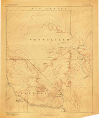
1883 · Mt. Taylor
USGS Topo · 1:250,000
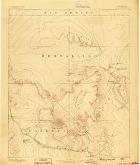
1886 · Mt. Taylor
USGS Topo · 1:250,000
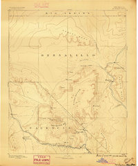
1892 · Mt. Taylor
USGS Topo · 1:250,000
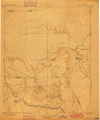
1899 · Mt. Taylor
USGS Topo · 1:250,000
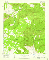
1957 · Lobo Springs
USGS Topo · 1:24,000
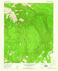
1957 · Mount Taylor
USGS Topo · 1:24,000
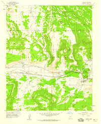
1957 · Laguna
USGS Topo · 1:24,000
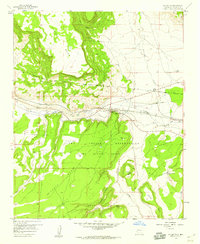
1957 · Mc Cartys
USGS Topo · 1:24,000
1957 · Cubero
USGS Topo · 1:24,000
1957 · Seboyeta
USGS Topo · 1:24,000