
2020 Map of Mount Taylor
USGS Topo · Published 2020About this map
Mt Taylor anchors the high terrain of the northern San Mateo Mountains, a prominent volcanic landscape within the Cibola National Forest. The map documents a rugged system of drainage and relief, where deep cuts like Rinconada Canyon and Lobo Canyon define the north-facing slopes. This 2020 record illustrates the network of access points used for forest management and recreation, including Forest Rd 400 and Motorized 427. The area's hydrology is marked by scattered water sources essential to this high-desert environment, such as Gooseberry Spring, De Armand Spring, and Raton Spring. To the south, the terrain descends into San Jose Canyon and the winding Castillo Canyon, showing the transition from mountain peaks to the complex canyon systems of Cibola County.
Find a feature on this map
33 named features on this map. Tap any name to fly to it.
Don’t see what you’re looking for? This feature index may not catch every label — zoom into the map to look around manually.
Map Details
Editions of this 2020 Mount Taylor Map
This is the sole edition of this map. No revisions or reprints were ever made.
Other maps of this area
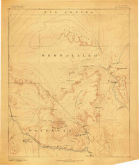
1883 · Mt. Taylor
USGS Topo · 1:250,000
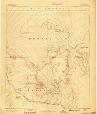
1886 · Mt. Taylor
USGS Topo · 1:250,000
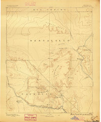
1892 · Mt. Taylor
USGS Topo · 1:250,000
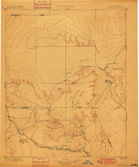
1899 · Mt. Taylor
USGS Topo · 1:250,000
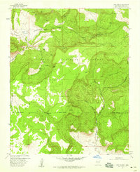
1957 · Lobo Springs
USGS Topo · 1:24,000
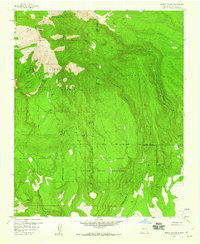
1957 · Mount Taylor
USGS Topo · 1:24,000
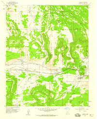
1957 · Laguna
USGS Topo · 1:24,000
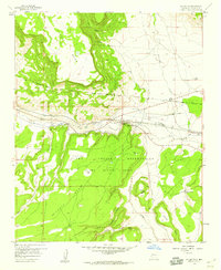
1957 · Mc Cartys
USGS Topo · 1:24,000
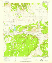
1957 · Cubero
USGS Topo · 1:24,000
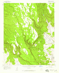
1957 · Seboyeta
USGS Topo · 1:24,000