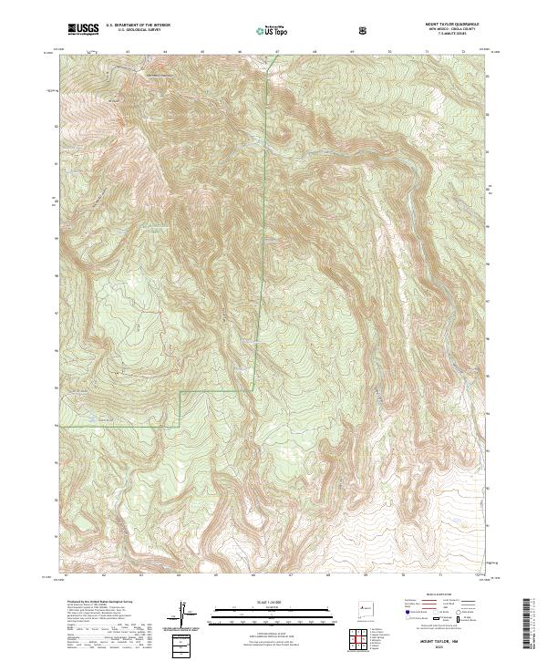
2023 Map of Mount Taylor
USGS Topo · Published 2023About this map
Mt Taylor stands as the dominant geographic landmark in this high-altitude section of the Cibola National Forest. This modern 2023 survey by the U.S. Geological Survey details a landscape defined by sharp elevation changes and essential water sources, including Gooseberry Spring, Bosque Spring, and the isolated De Armand Spring. The terrain is deeply incised by numerous drainages such as Rinconada Canyon and Timber Canyon, which flow toward the southern boundaries. Human presence is marked by a network of forest infrastructure, including Forest Rd 400 and various motorized paths like Motorized 427 Trl, reflecting the contemporary management of these public lands. The map provides a clear look at the intersection of complex topography and the critical springs that sustain the ecology of the San Mateo Mountains.
Find a feature on this map
31 named features on this map. Tap any name to fly to it.
Don’t see what you’re looking for? This feature index may not catch every label — zoom into the map to look around manually.
Map Details
Editions of this 2023 Mount Taylor Map
This is the sole edition of this map. No revisions or reprints were ever made.
Other maps of this area

1883 · Mt. Taylor
USGS Topo · 1:250,000

1886 · Mt. Taylor
USGS Topo · 1:250,000

1892 · Mt. Taylor
USGS Topo · 1:250,000

1899 · Mt. Taylor
USGS Topo · 1:250,000

1957 · Lobo Springs
USGS Topo · 1:24,000

1957 · Mount Taylor
USGS Topo · 1:24,000

1957 · Laguna
USGS Topo · 1:24,000

1957 · Mc Cartys
USGS Topo · 1:24,000

1957 · Cubero
USGS Topo · 1:24,000

1957 · Seboyeta
USGS Topo · 1:24,000