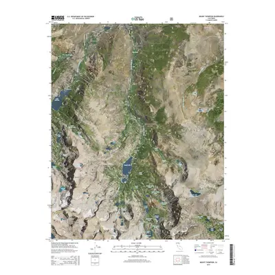
2015 Map of Mount Thompson
USGS Topo · Published 2015About this map
Aspendell sits at the northern edge of this high-altitude landscape, serving as a gateway to the steep eastern escarpment of the Sierra Nevada. The map details a complex drainage system where the Middle Fork Bishop Cr and several glacial basins feed into significant reservoirs like Lake Sabrina and South Lake. The terrain is characterized by massive granite peaks, including Mount Thompson and Mt Gilbert, which define the rugged boundary between Inyo National Forest and Kings Canyon National Park. The presence of Sky Haven in the southeast and named backcountry landmarks such as The Hunchback and Cloudripper illustrates the area's significance for alpine recreation and water management in the early 21st century. High-country hikers and historians can trace numerous trail-accessible water bodies, from the Tyee Lakes to the remote Thunder and Lightning Lake.
Find a feature on this map
72 named features on this map. Tap any name to fly to it.
Don’t see what you’re looking for? This feature index may not catch every label — zoom into the map to look around manually.
Map Details
Editions of this 2015 Mount Thompson Map
This is the sole edition of this map. No revisions or reprints were ever made.
Other maps of this area
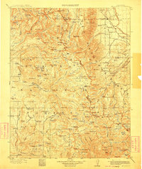
1912 · Mt. Goddard
USGS Topo · 1:125,000
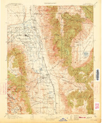
1913 · Bishop
USGS Topo · 1:125,000
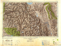
1947 · Mariposa
USGS Topo · 1:250,000
1948 · Mariposa
USGS Topo · 1:250,000
1948 · Mt. Goddard
USGS Topo · 1:62,500
1949 · Mt. Tom
USGS Topo · 1:62,500
1949 · Bishop
USGS Topo · 1:62,500
1950 · Big Pine
USGS Topo · 1:62,500
1951 · Mt. Tom
USGS Topo · 1:62,500
1951 · Mt. Goddard
USGS Topo · 1:62,500