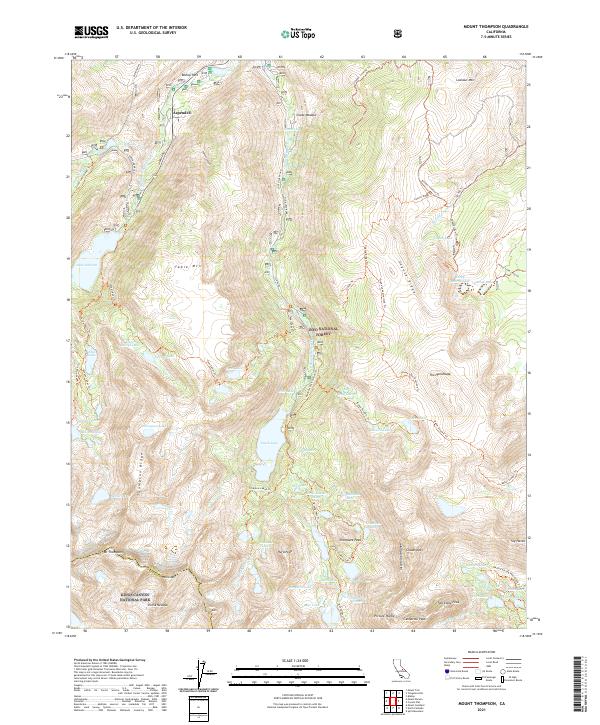
2021 Map of Mount Thompson
USGS Topo · Published 2021About this map
Aspendell sits at the northern edge of this high-elevation landscape, where the Middle Fork Bishop Creek flows past Bishop Park. This area of the Sierra Nevada is defined by a dense network of alpine water bodies, including the substantial South Lake and Lake Sabrina, which serve as hubs for numerous backcountry trails. The rugged divide of the Inconsolable Range and the Thompson Ridge separates deep basins filled with smaller waters like the Tyee Lakes, Baboon Lakes, and Chocolate Lakes.
Find a feature on this map
86 named features on this map. Tap any name to fly to it.
Don’t see what you’re looking for? This feature index may not catch every label — zoom into the map to look around manually.
Map Details
Editions of this 2021 Mount Thompson Map
This is the sole edition of this map. No revisions or reprints were ever made.
Other maps of this area

1912 · Mt. Goddard
USGS Topo · 1:125,000

1913 · Bishop
USGS Topo · 1:125,000

1947 · Mariposa
USGS Topo · 1:250,000

1948 · Mariposa
USGS Topo · 1:250,000

1948 · Mt. Goddard
USGS Topo · 1:62,500

1949 · Mt. Tom
USGS Topo · 1:62,500

1949 · Bishop
USGS Topo · 1:62,500

1950 · Big Pine
USGS Topo · 1:62,500

1951 · Mt. Tom
USGS Topo · 1:62,500

1951 · Mt. Goddard
USGS Topo · 1:62,500