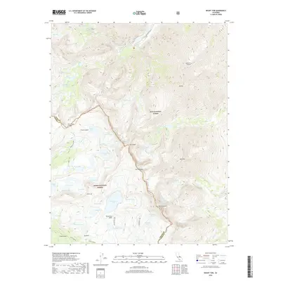
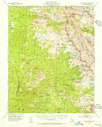
2018 Map of Mount Tom
USGS Topo · Published 2018About this map
Mt Tom and Mt Humphreys dominate the high-altitude horizon of the eastern Sierra Nevada, straddling the border of Inyo National Forest and Sierra National Forest. This terrain is characterized by a dense network of glacial tarns and alpine basins, where Gable Cr and Pine Cr drain towards the Owens Valley. The map documents the complex water systems of the high country, including the Gable Lakes, Horton Lake, and the expansive Humphreys Basin. Topographical transitions are marked by named crossings and cols, such as Pine Creek Pass and Carol Col, which link the rugged French Canyon to the eastern slopes. The concentration of specifically named water bodies like Steelhead Lake, Honeymoon Lake, and Moon Lake suggests a landscape shaped by both natural hydrology and long-standing recreational use in the Fresno and Inyo county backcountry.
Find a feature on this map
65 named features on this map. Tap any name to fly to it.
Don’t see what you’re looking for? This feature index may not catch every label — zoom into the map to look around manually.
Map Details
Editions of this 2018 Mount Tom Map
This is the sole edition of this map. No revisions or reprints were ever made.
Other maps of this area
1912 · Mt. Goddard
USGS Topo · 1:125,000

1947 · Mariposa
USGS Topo · 1:250,000

1948 · Mariposa
USGS Topo · 1:250,000
1948 · Mt. Goddard
USGS Topo · 1:62,500
1949 · Mt. Tom
USGS Topo · 1:62,500
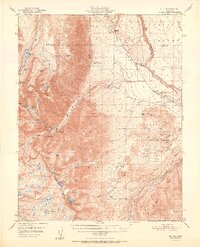
1951 · Mt. Tom
USGS Topo · 1:62,500
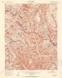
1951 · Mt. Goddard
USGS Topo · 1:62,500
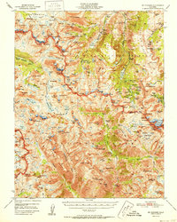
1952 · Mt. Goddard
USGS Topo · 1:62,500
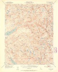
1953 · Mt Abbot
USGS Topo · 1:62,500
1953 · Blackcap Mtn
USGS Topo · 1:62,500