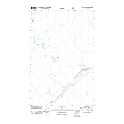
2011 Map of Mount Triumph
USGS Topo · Published 2011About this map
Newhalem serves as the primary hub of human activity within this mountainous corridor, situated along the banks of the Skagit River. This 2011 survey documents the infrastructure of the Ross Lake National Recreation Area, where recreational sites like the Goodell Campground and Newhalem Campground cluster near the water. The map traces the logistical remnants of the region’s development, including Goodell Siding and Sky Creek Siding, alongside the winding path of NFD 3745 RD.
Find a feature on this map
24 named features on this map. Tap any name to fly to it.
Don’t see what you’re looking for? This feature index may not catch every label — zoom into the map to look around manually.
Map Details
Editions of this 2011 Mount Triumph Map
This is the sole edition of this map. No revisions or reprints were ever made.
Other maps of this area

1953 · Marblemount
USGS Topo · 1:62,500

1953 · Mt Challenger
USGS Topo · 1:62,500

1955 · Concrete
USGS Topo · 1:250,000

1958 · Concrete
USGS Topo · 1:250,000

1962 · Concrete
USGS Topo · 1:250,000

1963 · Eldorado Peak
USGS Topo · 1:24,000

1963 · Diablo Dam
USGS Topo · 1:24,000

1969 · Mt Prophet
USGS Topo · 1:24,000

1979 · Mt. Baker
USGS Topo · 1:100,000
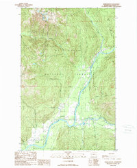
1989 · Marblemount
USGS Topo · 1:24,000