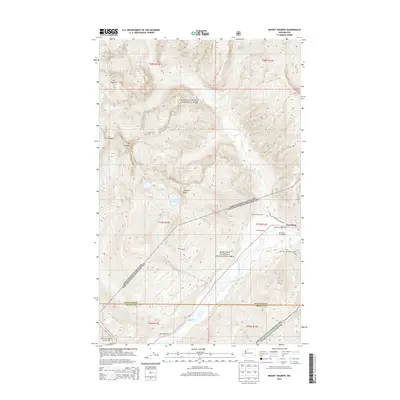
2014 Map of Mount Triumph
USGS Topo · Published 2014About this map
Newhalem serves as the primary outpost in this mountain landscape, positioned along the banks of the Skagit River where hydroelectric and recreation interests converge. The settlement is surrounded by protected lands, including the North Cascades National Park and the Ross Lake National Recreation Area. Transportation infrastructure is concentrated in the valley, evidenced by the presence of Goodell Siding and Sky Creek Siding, reflecting the area's ongoing operational needs within the river corridor.
Find a feature on this map
34 named features on this map. Tap any name to fly to it.
Don’t see what you’re looking for? This feature index may not catch every label — zoom into the map to look around manually.
Map Details
Editions of this 2014 Mount Triumph Map
This is the sole edition of this map. No revisions or reprints were ever made.
Other maps of this area
1953 · Marblemount
USGS Topo · 1:62,500
1953 · Mt Challenger
USGS Topo · 1:62,500

1955 · Concrete
USGS Topo · 1:250,000

1958 · Concrete
USGS Topo · 1:250,000

1962 · Concrete
USGS Topo · 1:250,000
1963 · Eldorado Peak
USGS Topo · 1:24,000
1963 · Diablo Dam
USGS Topo · 1:24,000
1969 · Mt Prophet
USGS Topo · 1:24,000
1979 · Mt. Baker
USGS Topo · 1:100,000
1989 · Marblemount
USGS Topo · 1:24,000