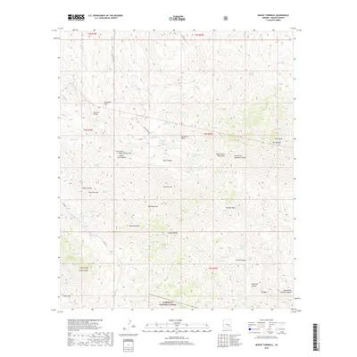
2018 Map of Mount Turnbull
USGS Topo · Published 2018About this map
Mt Turnbull and the Santa Teresa Mountains dominate this high-desert landscape in southeastern Arizona. The terrain is defined by a series of sharp peaks and deep drainages, including the prominent Stanley Butte and Crystal Peak. A network of unpaved tracks, such as House Road 550 and Co Rd 540, provide the only access into these remote reaches of the Coronado National Forest.
Find a feature on this map
59 named features on this map. Tap any name to fly to it.
Don’t see what you’re looking for? This feature index may not catch every label — zoom into the map to look around manually.
Map Details
Editions of this 2018 Mount Turnbull Map
This is the sole edition of this map. No revisions or reprints were ever made.
Other maps of this area
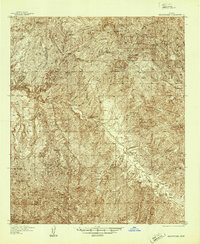
1938 · Klondyke
USGS Topo · 1:48,000
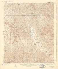
1943 · Klondyke
USGS Topo · 1:62,500
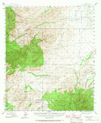
1944 · Jackson Mtn.
USGS Topo · 1:62,500
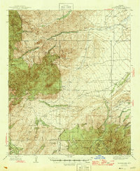
1946 · Jackson Mtn.
USGS Topo · 1:62,500
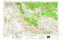
1954 · Mesa
USGS Topo · 1:250,000
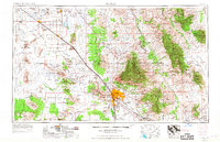
1956 · Tucson
USGS Topo · 1:250,000
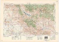
1957 · Mesa
USGS Topo · 1:250,000
1958 · Mesa
USGS Topo · 1:250,000
1958 · Tucson
USGS Topo · 1:250,000
1959 · Tucson
USGS Topo · 1:250,000