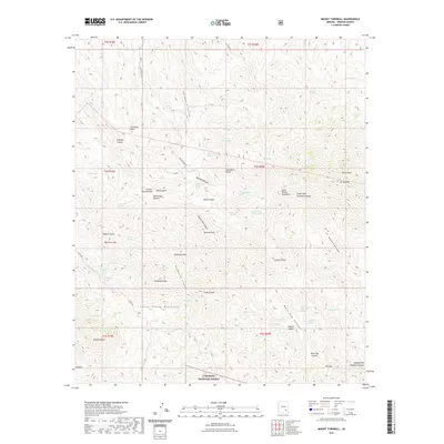
2021 Map of Mount Turnbull
USGS Topo · Published 2021About this map
The Santa Teresa Mountains dominate this high-desert landscape in southeastern Arizona, within the boundaries of the Coronado National Forest. This 2021 survey details a region characterized by deep drainages and prominent peaks, including Mt Turnbull and Granite Peak. Historical human activity is marked by isolated sites like Mitchell Cabin and the evocatively named Post Office Spring. The topographic data reveals a complex network of canyons such as Musk Hog Canyon and Packwood Canyon, alongside numerous water sources like Green House Spring and Mescal Spring that have long dictated movement through this arid terrain. For researchers and geographers, the map provides a look at the modern state of remote locales like Rustler Park and the rugged passage known as The Box, tracing the intersection of public forest lands and established mountain landmarks.
Find a feature on this map
92 named features on this map. Tap any name to fly to it.
Don’t see what you’re looking for? This feature index may not catch every label — zoom into the map to look around manually.
Map Details
Editions of this 2021 Mount Turnbull Map
This is the sole edition of this map. No revisions or reprints were ever made.
Other maps of this area

1938 · Klondyke
USGS Topo · 1:48,000

1943 · Klondyke
USGS Topo · 1:62,500

1944 · Jackson Mtn.
USGS Topo · 1:62,500

1946 · Jackson Mtn.
USGS Topo · 1:62,500

1954 · Mesa
USGS Topo · 1:250,000

1956 · Tucson
USGS Topo · 1:250,000

1957 · Mesa
USGS Topo · 1:250,000

1958 · Mesa
USGS Topo · 1:250,000

1958 · Tucson
USGS Topo · 1:250,000

1959 · Tucson
USGS Topo · 1:250,000