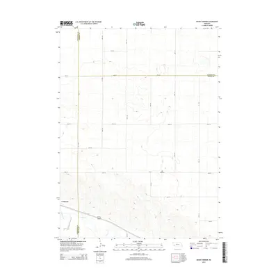
2014 Map of Mount Vernon
USGS Topo · Published 2014About this map
Lodgepole and the surrounding high plains terrain of Cheyenne County define this landscape, where the valley of Lodgepole Cr cuts through the southern reaches of the quadrangle. This 2014 survey reveals a highly organized rural infrastructure, dominated by a strict grid of section-line roads such as Road 151 and Road 32 that stitch together the vast agricultural fields. The junction of Cheyenne, Garden, and Deuel counties occurs in the northeastern quadrant, a cartographic intersection in an area where water features like Cow Creek are sparse. Significant for its depiction of modern land use, the map documents the settlement at Mt Vernon and the established transportation corridors that have long dictated the movement of goods and people across the Nebraska Panhandle.
Find a feature on this map
20 named features on this map. Tap any name to fly to it.
Don’t see what you’re looking for? This feature index may not catch every label — zoom into the map to look around manually.
Map Details
Editions of this 2014 Mount Vernon Map
This is the sole edition of this map. No revisions or reprints were ever made.
Other maps of this area

1899 · Sidney
USGS Topo · 1:125,000

1900 · Chappell
USGS Topo · 1:125,000

1954 · Scottsbluff
USGS Topo · 1:250,000

1958 · Scottsbluff
USGS Topo · 1:250,000

1961 · Chappell
USGS Topo · 1:24,000

1971 · Oshkosh SW
USGS Topo · 1:24,000

1971 · Chappell NW
USGS Topo · 1:24,000

1972 · Lodgepole
USGS Topo · 1:24,000

1972 · Lisco SW
USGS Topo · 1:24,000
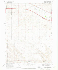
1972 · Lodgepole SE
USGS Topo · 1:24,000