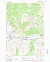
1972 Map of Mount Vernon
USGS Topo · Published 1984About this map
Mount Vernon sits at the junction of mountain and river valley in Grant County, where the John Day River carves through a landscape shaped by both geology and resource extraction. Evidence of the area's industrial history is visible in the extensive dredge tailings along the riverbank, a signature of the gold dredging era that altered the waterway's course. North of the settlement, the Malheur National Forest boundary encompasses prominent heights like White Butte and Gordon Butte, while the Mt Vernon Hot Springs mark a geothermal presence near the forest edge.
Find a feature on this map
46 named features on this map. Tap any name to fly to it.
Don’t see what you’re looking for? This feature index may not catch every label — zoom into the map to look around manually.
Map Details
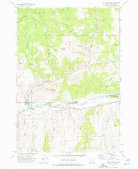
Editions of this 1972 Mount Vernon Map
2 editions found
Other maps of this area

1940 · Mount Vernon
USGS Topo · 1:62,500

1940 · John Day
USGS Topo · 1:62,500

1943 · John Day
USGS Topo · 1:62,500

1943 · Mount Vernon
USGS Topo · 1:62,500

1949 · Long Creek
USGS Topo · 1:62,500

1949 · Susanville
USGS Topo · 1:62,500

1951 · Susanville
USGS Topo · 1:62,500

1951 · Long Creek
USGS Topo · 1:62,500

1955 · Canyon City
USGS Topo · 1:250,000

1959 · Canyon City
USGS Topo · 1:250,000