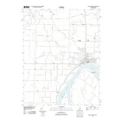
2010 Map of Mount Vernon
USGS Topo · Published 2010About this map
Mount Vernon sits at a strategic bend in the Ohio River, where the landscape transitions from industrial riverfront to the agricultural plains of Posey County. The river’s influence is clear, from the large Mount Vernon Towhead Island and Towhead Island to the network of drainage systems like Big Creek Slough and Spencer Ditch. These waterways historically dictated the settlement patterns of outlying communities like Grafton, Upton, and Hovey. The transport infrastructure is anchored by CSX Transportation rail lines and the Parrish Airport, supporting the region's shipping and logistical needs.
Find a feature on this map
85 named features on this map. Tap any name to fly to it.
Don’t see what you’re looking for? This feature index may not catch every label — zoom into the map to look around manually.
Map Details
Editions of this 2010 Mount Vernon Map
This is the sole edition of this map. No revisions or reprints were ever made.
Other maps of this area

1903 · New Harmony
USGS Topo · 1:62,500

1903 · Patoka
USGS Topo · 1:125,000

1905 · New Haven
USGS Topo · 1:62,500

1906 · New Haven
USGS Topo · 1:62,500

1917 · Uniontown
USGS Topo · 1:62,500

1938 · New Harmony
USGS Topo · 1:62,500

1940 · Carmi
USGS Topo · 1:62,500

1943 · Carmi
USGS Topo · 1:62,500

1949 · Paducah
USGS Topo · 1:250,000

1949 · New Haven
USGS Topo · 1:62,500