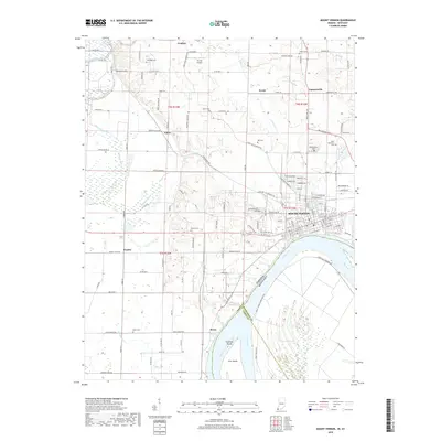
2019 Map of Mount Vernon
USGS Topo · Published 2019About this map
The Ohio River forms a wide, sweeping boundary between Indiana and Kentucky at the southern edge of this modern survey. At the heart of the landscape is Mount Vernon, the county seat of Posey County, situated on the high banks of the river just above Slim Island and Towhead Island. The town's grid is dense with street names, while the surrounding countryside is dotted with small agricultural settlements like Upton, Grafton, and Farmersville.
Find a feature on this map
132 named features on this map. Tap any name to fly to it.
Don’t see what you’re looking for? This feature index may not catch every label — zoom into the map to look around manually.
Map Details
Editions of this 2019 Mount Vernon Map
This is the sole edition of this map. No revisions or reprints were ever made.
Other maps of this area

1903 · New Harmony
USGS Topo · 1:62,500

1903 · Patoka
USGS Topo · 1:125,000

1905 · New Haven
USGS Topo · 1:62,500

1906 · New Haven
USGS Topo · 1:62,500

1917 · Uniontown
USGS Topo · 1:62,500

1938 · New Harmony
USGS Topo · 1:62,500

1940 · Carmi
USGS Topo · 1:62,500

1943 · Carmi
USGS Topo · 1:62,500

1949 · Paducah
USGS Topo · 1:250,000

1949 · New Haven
USGS Topo · 1:62,500