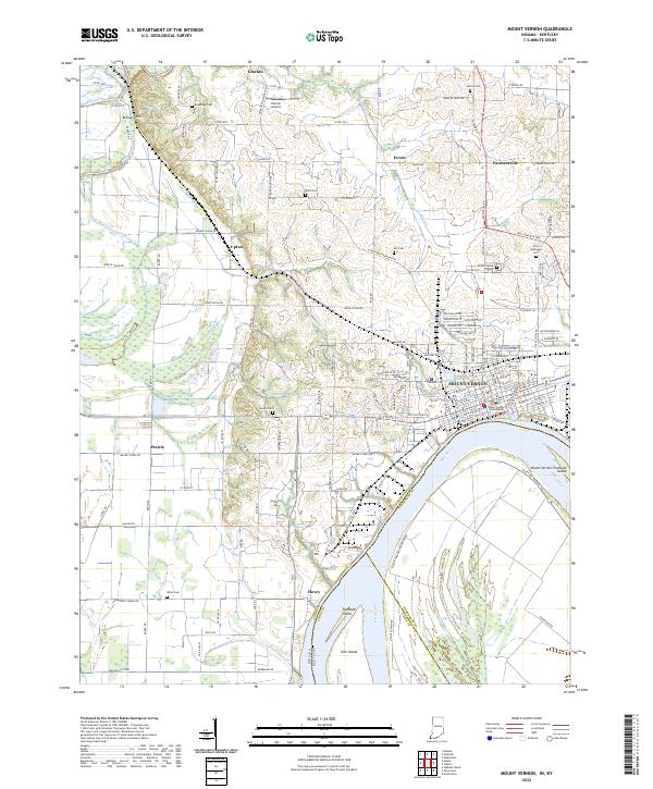
2022 Map of Mount Vernon
USGS Topo · Published 2022About this map
The Posey County Courthouse serves as the focal point of the riverfront city of Mount Vernon, Indiana, where the street grid meets the wide bend of the Ohio River. This 2022 survey captures the contemporary layout of the region, where the industrial presence of the William-Keck Byp and Industrial Rd contrasts with the agricultural heritage of the surrounding townships. Numerous family burial grounds, such as Alldredge Cem, Dunn Cem, and Weiss Cem, are preserved across the landscape, marking the generational history of rural settlements like Grafton, Upton, and Farmersville. To the south, the river environment is defined by significant landforms including Wabash Island and Slim Island, while drainage systems like Big Creek Slough and Whipple Ditch weave through the lowlands, illustrating the complex relationship between the local geography and the river's floodplain.
Find a feature on this map
149 named features on this map. Tap any name to fly to it.
Don’t see what you’re looking for? This feature index may not catch every label — zoom into the map to look around manually.
Map Details
Editions of this 2022 Mount Vernon Map
This is the sole edition of this map. No revisions or reprints were ever made.
Other maps of this area

1903 · New Harmony
USGS Topo · 1:62,500

1903 · Patoka
USGS Topo · 1:125,000

1905 · New Haven
USGS Topo · 1:62,500

1906 · New Haven
USGS Topo · 1:62,500

1917 · Uniontown
USGS Topo · 1:62,500

1938 · New Harmony
USGS Topo · 1:62,500

1940 · Carmi
USGS Topo · 1:62,500

1943 · Carmi
USGS Topo · 1:62,500

1949 · Paducah
USGS Topo · 1:250,000

1949 · New Haven
USGS Topo · 1:62,500