
1982 Map of Mount Vernon
USGS Topo · Published 1982About this map
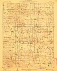
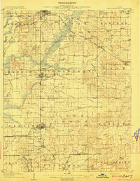
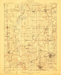
Mount Vernon and Fairfield anchor this Southern Illinois landscape, which is heavily defined by its intricate drainage networks and mid-century infrastructure. The western edge is dominated by the expansive Rend Lake, including its dedicated State Waterfowl Management Area and the campus of Rend Lake College. This region showcases the transition from established river settlements along the Wabash River and Little Wabash River to the growing transportation hubs connected by Interstate 57 and several major rail lines including the Southern RR and Conrail.
Find a feature on this map
130 named features on this map. Tap any name to fly to it.
Don’t see what you’re looking for? This feature index may not catch every label — zoom into the map to look around manually.
Map Details
Editions of this 1982 Mount Vernon Map
This is the sole edition of this map. No revisions or reprints were ever made.
Other maps of this area

1903 · New Harmony
USGS Topo · 1:62,500

1903 · Patoka
USGS Topo · 1:125,000

1904 · Mount Carmel
USGS Topo · 1:62,500

1905 · Eldorado
USGS Topo · 1:62,500

1905 · New Haven
USGS Topo · 1:62,500

1906 · New Haven
USGS Topo · 1:62,500

1906 · Eldorado
USGS Topo · 1:62,500
1908 · Galatia
USGS Topo · 1:62,500
1909 · West Frankfort
USGS Topo · 1:62,500
1910 · Herrin
USGS Topo · 1:62,500