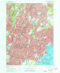
1966 Map of Mount Vernon
USGS Topo · Published 1977About this map
Bronxville, Tuckahoe, and Mount Vernon form a densely settled corridor along the Bronx River and the Penn Central rail lines in the mid-1960s. This period captures the mature suburban expansion of southern Westchester County, where established residential neighborhoods like Cedar Knolls and Arthur Manor are interlaced with numerous private golf clubs and parks, such as the Siwanoy Country Club and Saxon Woods Park.
Find a feature on this map
239 named features on this map. Tap any name to fly to it.
Don’t see what you’re looking for? This feature index may not catch every label — zoom into the map to look around manually.
Map Details
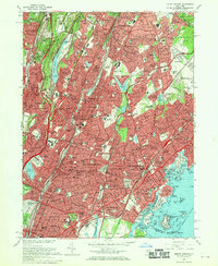
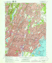
Editions of this 1966 Mount Vernon Map
4 editions found

Other maps of this area

1891 · Harlem
USGS Topo · 1:62,500

1892 · Stamford
USGS Topo · 1:62,500

1892 · Tarrytown
USGS Topo · 1:62,500

1893 · Stamford
USGS Topo · 1:62,500

1893 · Tarrytown
USGS Topo · 1:62,500

1897 · Harlem
USGS Topo · 1:62,500

1897 · Oyster Bay
USGS Topo · 1:62,500

1898 · Harlem
USGS Topo · 1:62,500

1898 · Oyster Bay
USGS Topo · 1:62,500

1899 · Stamford
USGS Topo · 1:62,500