
1966 Map of Mount Vernon
USGS Topo · Published 1979About this map
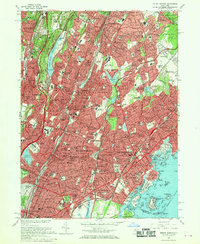
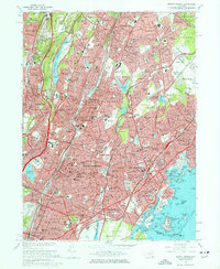
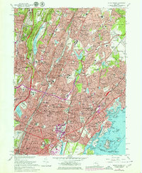
Mount Vernon and New Rochelle serve as the anchors for this mid-1960s study of lower Westchester County. The landscape is defined by its dense residential corridors and the critical transportation arteries that bind them, including the Bronx River Parkway and New York State Thruway. Extensive institutional grounds, such as Sarah Lawrence College, Iona College, and the College of New Rochelle, reflect the era's academic development.
Find a feature on this map
182 named features on this map. Tap any name to fly to it.
Don’t see what you’re looking for? This feature index may not catch every label — zoom into the map to look around manually.
Map Details
Editions of this 1966 Mount Vernon Map
4 editions found
Other maps of this area

1891 · Harlem
USGS Topo · 1:62,500

1892 · Stamford
USGS Topo · 1:62,500

1892 · Tarrytown
USGS Topo · 1:62,500

1893 · Stamford
USGS Topo · 1:62,500

1893 · Tarrytown
USGS Topo · 1:62,500

1897 · Harlem
USGS Topo · 1:62,500

1897 · Oyster Bay
USGS Topo · 1:62,500

1898 · Harlem
USGS Topo · 1:62,500

1898 · Oyster Bay
USGS Topo · 1:62,500

1899 · Stamford
USGS Topo · 1:62,500