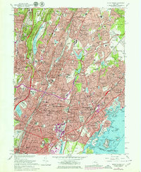
1966 Map of Mount Vernon
USGS Topo · Published 1979About this map
The dense suburban corridor of lower Westchester County and the northern Bronx appears in high detail during the mid-1960s, a period of established residential growth and parkway expansion. The Bronx River Parkway and Sprain Brook Parkway cut through a landscape defined by prominent institutions and vast green spaces, from the sprawling grounds of St Josephs Seminary to the Yonkers Raceway. Along the coastline, the map reveals the complex shoreline of Long Island Sound, including Glen Island and the Fort Slocum Military Reservation on Davids Island. Inland, the massive Hillview Reservoir and Grassy Sprain Reservoir dominate the local topography. This edition captures the intricate network of local schools like Iona College and dozens of numbered public schools, alongside several country clubs and cemeteries that served as significant open-space buffers between burgeoning neighborhoods like Fleetwood and Pelham Manor.
Find a feature on this map
224 named features on this map. Tap any name to fly to it.
Don’t see what you’re looking for? This feature index may not catch every label — zoom into the map to look around manually.
Map Details
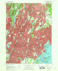
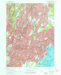
Editions of this 1966 Mount Vernon Map
4 editions found

Other maps of this area

1891 · Harlem
USGS Topo · 1:62,500

1892 · Stamford
USGS Topo · 1:62,500

1892 · Tarrytown
USGS Topo · 1:62,500

1893 · Stamford
USGS Topo · 1:62,500

1893 · Tarrytown
USGS Topo · 1:62,500

1897 · Harlem
USGS Topo · 1:62,500

1897 · Oyster Bay
USGS Topo · 1:62,500

1898 · Harlem
USGS Topo · 1:62,500

1898 · Oyster Bay
USGS Topo · 1:62,500

1899 · Stamford
USGS Topo · 1:62,500