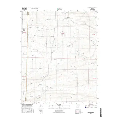
2017 Map of Mount Vernon
USGS Topo · Published 2017About this map
Mount Vernon and Romance anchor this rural landscape along the Faulkner and White County border. The area is defined by its ridge-and-hollow topography, where family-named landmarks like Tucker Bluff and Bull Mtn rise above winding waterways such as Muddy Bayou and Little Bull Creek. For those tracing local heritage, the map reveals several dispersed burial sites, including Adkisson Cemetery and Blasingame Cemetery. The settlement pattern follows the contours of the land, with El Paso situated at the southern edge near Cadron Ridge. A network of country roads, such as Blackjack Mountain Road and Mount Vernon Road, connects these small communities and scattered farmsteads, reflecting a long-standing agricultural and timber-linked economy that persists well into the twenty-first century.
Find a feature on this map
86 named features on this map. Tap any name to fly to it.
Don’t see what you’re looking for? This feature index may not catch every label — zoom into the map to look around manually.
Map Details
Editions of this 2017 Mount Vernon Map
This is the sole edition of this map. No revisions or reprints were ever made.
Other maps of this area

1953 · Memphis
USGS Topo · 1:250,000
1956 · Memphis
USGS Topo · 1:250,000
1956 · Russellville
USGS Topo · 1:250,000
1963 · Rose Bud
USGS Topo · 1:24,000
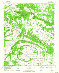
1963 · Floyd
USGS Topo · 1:24,000
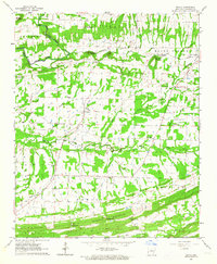
1963 · Enola
USGS Topo · 1:24,000
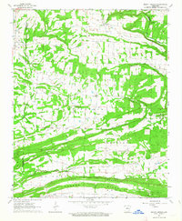
1963 · Mount Vernon
USGS Topo · 1:24,000
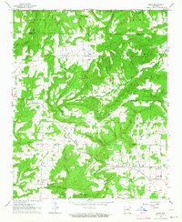
1963 · Sidon
USGS Topo · 1:24,000
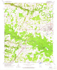
1963 · Beebe
USGS Topo · 1:24,000
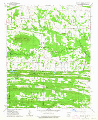
1963 · Mountain Springs
USGS Topo · 1:24,000