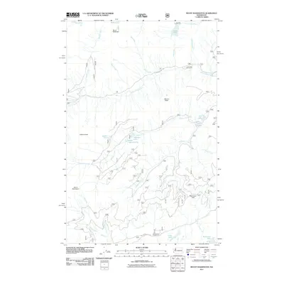
2011 Map of Mount Washington
USGS Topo · Published 2011About this map
Mount Washington and Mount Bretherton dominate this high-elevation landscape, where a complex network of forest roads and hiking access points reaches into the Olympic Peninsula. The Hamma Hamma River flows through the northern section, supported by high-country drainage from Lena Creek and Boulder Creek. This 2011 survey documents a territory defined by recreation and hydrological patterns, with designated stopping points at Lena Lake Campground and Lena Creek Campground. Further south, the terrain falls away toward the Lilliwaup Creek drainage and Melbourne Lake. The map reveals the intricate water systems of the region, including clustered alpine features like Upper Elk Lake, Goober Pond, and Upper Jefferson Lake. These details reflect a modern era of forest management where logging roads like N Hamma Hamma RD interface with protected wilderness areas and high-altitude passes such as Washington Pass.
Find a feature on this map
39 named features on this map. Tap any name to fly to it.
Don’t see what you’re looking for? This feature index may not catch every label — zoom into the map to look around manually.
Map Details
Editions of this 2011 Mount Washington Map
This is the sole edition of this map. No revisions or reprints were ever made.
Other maps of this area

1938 · Mt Constance
USGS Topo · 1:125,000

1943 · Potlatch
USGS Topo · 1:62,500

1947 · The Brothers
USGS Topo · 1:62,500

1947 · Mt. Steel
USGS Topo · 1:62,500

1950 · The Brothers
USGS Topo · 1:62,500

1950 · Mt. Steel
USGS Topo · 1:62,500

1952 · Potlatch
USGS Topo · 1:62,500

1953 · Mt Tebo
USGS Topo · 1:62,500

1958 · Seattle
USGS Topo · 1:250,000

1962 · Seattle
USGS Topo · 1:250,000