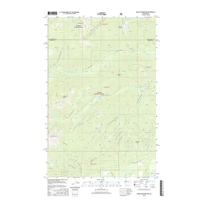
2017 Map of Mount Washington
USGS Topo · Published 2017About this map
Mount Washington and the surrounding wilderness of the Olympic National Forest dominate this landscape in Mason and Jefferson counties. The terrain is defined by dramatic elevation changes, from the heights of Mount Ellinor and Mount Bretherton down to the deep drainages of the Hamma Hamma River. The map highlights a network of water bodies, including Lena Lake, Elk Lake, and the remote Scout Lake. Forest access is documented through a series of specialized routes like National Forest Development Road 2401 and the Upper Big Creek Loop. This survey captures the intersection of Olympic National Park and managed forest lands, showing the complex watershed that feeds the North Branch of the Skokomish River and the Lilliwaup Swamp.
Find a feature on this map
74 named features on this map. Tap any name to fly to it.
Don’t see what you’re looking for? This feature index may not catch every label — zoom into the map to look around manually.
Map Details
Editions of this 2017 Mount Washington Map
This is the sole edition of this map. No revisions or reprints were ever made.
Other maps of this area

1938 · Mt Constance
USGS Topo · 1:125,000

1943 · Potlatch
USGS Topo · 1:62,500

1947 · The Brothers
USGS Topo · 1:62,500

1947 · Mt. Steel
USGS Topo · 1:62,500

1950 · The Brothers
USGS Topo · 1:62,500

1950 · Mt. Steel
USGS Topo · 1:62,500

1952 · Potlatch
USGS Topo · 1:62,500

1953 · Mt Tebo
USGS Topo · 1:62,500

1958 · Seattle
USGS Topo · 1:250,000

1962 · Seattle
USGS Topo · 1:250,000