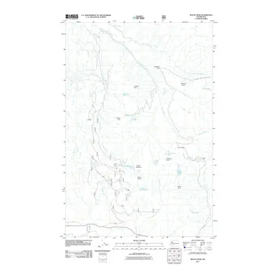
2011 Map of Mount Wow
USGS Topo · Published 2011About this map
Mount Wow and the high ridges of the western Cascade Range define this 2011 survey, showing a landscape shaped by glacial waters and steep relief. The Puyallup River and its numerous tributaries, including North Puyallup River and Swift Creek, carve through the terrain, punctuated by significant cascades such as Denman Falls and Ethania Falls. The map documents a network of high-elevation basins containing several named water bodies, including Lake George, Lake Allen, and the remote Beljica Meadows Lake.
Find a feature on this map
34 named features on this map. Tap any name to fly to it.
Don’t see what you’re looking for? This feature index may not catch every label — zoom into the map to look around manually.
Map Details
Editions of this 2011 Mount Wow Map
This is the sole edition of this map. No revisions or reprints were ever made.
Other maps of this area

1924 · Mt Rainier
USGS Topo · 1:96,000

1928 · Mt Rainier
USGS Topo · 1:125,000

1937 · Eatonville
USGS Topo · 1:125,000

1950 · Yakima
USGS Topo · 1:250,000

1953 · Hoquiam
USGS Topo · 1:250,000

1956 · Mineral
USGS Topo · 1:62,500

1956 · Kapowsin
USGS Topo · 1:62,500

1957 · Hoquiam
USGS Topo · 1:250,000

1958 · Yakima
USGS Topo · 1:250,000

1958 · Hoquiam
USGS Topo · 1:250,000