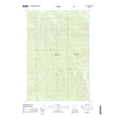
2020 Map of Mount Wow
USGS Topo · Published 2020About this map
Mount Wow and the high ridges of the Cascades dominate this 2020 landscape on the western edge of Mount Rainier National Park. The survey illustrates a complex hydrological system where the Puyallup River and its north and south forks originate from glacial drainage. Higher elevations are marked by distinctive landmarks like Gobblers Knob and Mt Beljica, while the Wonderland Trail winds through the northeastern sector past Kapatche Ridge.
Find a feature on this map
52 named features on this map. Tap any name to fly to it.
Don’t see what you’re looking for? This feature index may not catch every label — zoom into the map to look around manually.
Map Details
Editions of this 2020 Mount Wow Map
This is the sole edition of this map. No revisions or reprints were ever made.
Other maps of this area

1924 · Mt Rainier
USGS Topo · 1:96,000

1928 · Mt Rainier
USGS Topo · 1:125,000

1937 · Eatonville
USGS Topo · 1:125,000

1950 · Yakima
USGS Topo · 1:250,000

1953 · Hoquiam
USGS Topo · 1:250,000

1956 · Mineral
USGS Topo · 1:62,500

1956 · Kapowsin
USGS Topo · 1:62,500

1957 · Hoquiam
USGS Topo · 1:250,000

1958 · Yakima
USGS Topo · 1:250,000

1958 · Hoquiam
USGS Topo · 1:250,000