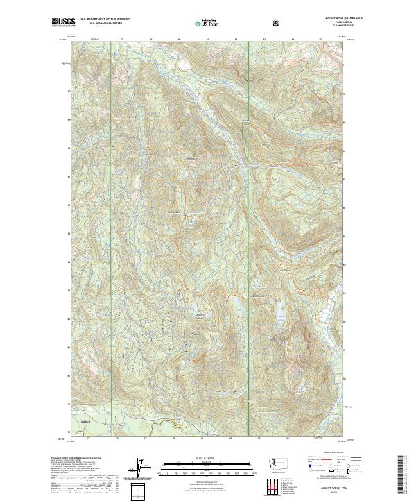
2023 Map of Mount Wow
USGS Topo · Published 2023About this map
Ashford sits at the southwestern gateway to a landscape dominated by the glacial drainages of the Cascades, where the Puyallup River forks into north and south branches. This 2023 survey delineates the complex intersection of the Mount Rainier National Park, Glacier View Wilderness, and Snoqualmie National Forest. The map detail follows the rugged crests from Mount Wow north toward Gobblers Knob, tracing a network of high-elevation water bodies including Lake George and Lake Christine.
Find a feature on this map
62 named features on this map. Tap any name to fly to it.
Don’t see what you’re looking for? This feature index may not catch every label — zoom into the map to look around manually.
Map Details
Editions of this 2023 Mount Wow Map
This is the sole edition of this map. No revisions or reprints were ever made.
Other maps of this area

1924 · Mt Rainier
USGS Topo · 1:96,000

1928 · Mt Rainier
USGS Topo · 1:125,000

1937 · Eatonville
USGS Topo · 1:125,000

1950 · Yakima
USGS Topo · 1:250,000

1953 · Hoquiam
USGS Topo · 1:250,000

1956 · Mineral
USGS Topo · 1:62,500

1956 · Kapowsin
USGS Topo · 1:62,500

1957 · Hoquiam
USGS Topo · 1:250,000

1958 · Yakima
USGS Topo · 1:250,000

1958 · Hoquiam
USGS Topo · 1:250,000