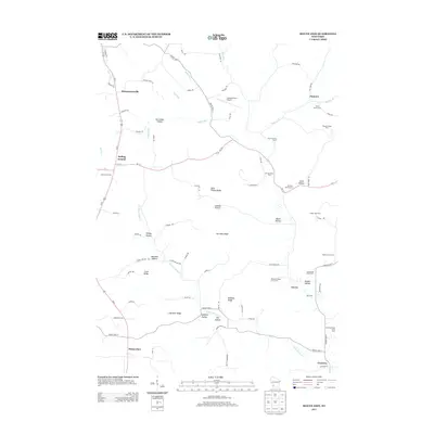
2013 Map of Mount Zion
USGS Topo · Published 2013About this map
Mount Zion and the small unincorporated clusters of Rolling Ground and Montgomeryville anchor this southwest Wisconsin landscape in Crawford County. The terrain is defined by a dense network of coulees and ridges, where narrow valleys like McCumber Hollow and Johnson Hollow cut between high ground such as Saint Philips Ridge and Horrigan Ridge. This 2013 survey illustrates a persistent agrarian economy, evidenced by the numerous named agricultural operations throughout the quadrangle, including the Brady Stock Farm, Trout Brook Stock Farm, and Heart Grove Farm. Drainage is managed by small winding waterways like English Run and the W Fork Knapp Cr, which dictate the placement of local routes such as County Hwy-S and County Hwy-H. The map also captures specialized infrastructure like the Leeward Farm Airport and small settlements like Tavera and Jimtown.
Find a feature on this map
85 named features on this map. Tap any name to fly to it.
Don’t see what you’re looking for? This feature index may not catch every label — zoom into the map to look around manually.
Map Details
Editions of this 2013 Mount Zion Map
This is the sole edition of this map. No revisions or reprints were ever made.
Other maps of this area

1924 · Gays Mills
USGS Topo · 1:62,500

1926 · Gays Mills
USGS Topo · 1:62,500

1926 · Wauzeka
USGS Topo · 1:62,500

1933 · Boaz
USGS Topo · 1:62,500

1933 · Boscobel
USGS Topo · 1:62,500

1958 · La Crosse
USGS Topo · 1:250,000

1961 · La Crosse
USGS Topo · 1:250,000

1965 · La Crosse
USGS Topo · 1:250,000
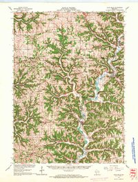
1966 · Gays Mills
USGS Topo · 1:62,500

1966 · Boaz
USGS Topo · 1:62,500