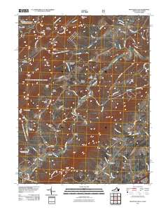
2011 Map of Mountain Falls
USGS Topo · Published 2011About this map
Cedar Creek snakes through this borderland between Virginia and West Virginia, carving a valley defined by prominent ridges like Short Mountain and Mcliwee Ridge. The settlement of Mountain Falls sits near the northern boundary, while the historic commercial site of Star Tannery and its associated Star Tannery Post Office anchor the central hills. The landscape is characterized by narrow hollows such as Rocky Hollow and Poplar Hollow, and many small farm-to-market roads that connect scattered rural homesteads and family burial grounds. Genealogical researchers will find value in the documentation of local cemeteries, including Laurel Hill Cemetery, Saint Stephens Cemetery, and Mount Carmel Cemetery. The presence of the Mulberry Run Airport and Winchester Camp suggests a modern layer of aviation and recreational utility overlaid upon a deeply established Appalachian mountain geography.
Find a feature on this map
77 named features on this map. Tap any name to fly to it.
Don’t see what you’re looking for? This feature index may not catch every label — zoom into the map to look around manually.
Map Details
Editions of this 2011 Mountain Falls Map
This is the sole edition of this map. No revisions or reprints were ever made.
Other maps of this area

1891 · Romney
USGS Topo · 1:125,000

1892 · Woodstock
USGS Topo · 1:125,000

1893 · Luray
USGS Topo · 1:125,000

1894 · Winchester
USGS Topo · 1:125,000

1905 · Luray
USGS Topo · 1:125,000

1922 · Wardensville
USGS Topo · 1:62,500

1923 · Middletown
USGS Topo · 1:62,500

1923 · Edinburg
USGS Topo · 1:62,500

1924 · Wardensville
USGS Topo · 1:62,500

1937 · Middletown
USGS Topo · 1:48,000