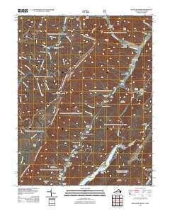
2011 Map of Mountain Grove
USGS Topo · Published 2011About this map
Bolar Mountain and the surrounding ridgelines of the Allegheny Mountains define this landscape along the Virginia and West Virginia border. The map details a rural, high-elevation environment characterized by narrow valleys like Ryder Hollow and Kellison Hollow, where small settlements such as Mountain Grove and Rimel are situated near vital water sources. The Jackson River cuts through the southeastern corner of the quadrangle, crossed by the Mcclintic Bridge. Historical land use is visible through family-named landmarks like John Landes Hollow and Stewart Hollow, while the presence of Schoolhouse Hollow suggests the locations of former local institutions. Recreational and monitoring sites are prominent features, including the High Top Lookout Tower standing over the western ridges and the Blowing Springs Campground situated along Back Creek.
Find a feature on this map
74 named features on this map. Tap any name to fly to it.
Don’t see what you’re looking for? This feature index may not catch every label — zoom into the map to look around manually.
Map Details
Editions of this 2011 Mountain Grove Map
This is the sole edition of this map. No revisions or reprints were ever made.
Other maps of this area

1887 · Lewisburg
USGS Topo · 1:125,000

1891 · Lewisburg
USGS Topo · 1:125,000

1891 · Huntersville
USGS Topo · 1:125,000

1894 · Huntersville
USGS Topo · 1:125,000

1894 · Natural Bridge
USGS Topo · 1:125,000

1901 · Monterey
USGS Topo · 1:125,000

1921 · Callaghan
USGS Topo · 1:48,000

1923 · Marlinton
USGS Topo · 1:48,000

1923 · Warm Springs
USGS Topo · 1:48,000

1923 · Callaghan
USGS Topo · 1:62,500