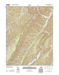
2013 Map of Mountain Grove
USGS Topo · Published 2013About this map
Rimel and Mountain Grove anchor this 2013 survey of the Virginia and West Virginia borderlands, where the landscape is defined by a dense network of hollows and ridges. The terrain's complexity is reflected in names like Sapling Woods Hollow, Schoolhouse Hollow, and O'Farrell Hollow, many of which suggest early family settlements and land use patterns. Modern recreation and conservation are evident at Lake Moomaw, the Pocahontas Picnic and Campground, and Blowing Springs Campground.
Find a feature on this map
77 named features on this map. Tap any name to fly to it.
Don’t see what you’re looking for? This feature index may not catch every label — zoom into the map to look around manually.
Map Details
Editions of this 2013 Mountain Grove Map
This is the sole edition of this map. No revisions or reprints were ever made.
Other maps of this area

1887 · Lewisburg
USGS Topo · 1:125,000

1891 · Lewisburg
USGS Topo · 1:125,000

1891 · Huntersville
USGS Topo · 1:125,000

1894 · Huntersville
USGS Topo · 1:125,000

1894 · Natural Bridge
USGS Topo · 1:125,000

1901 · Monterey
USGS Topo · 1:125,000

1921 · Callaghan
USGS Topo · 1:48,000

1923 · Marlinton
USGS Topo · 1:48,000

1923 · Warm Springs
USGS Topo · 1:48,000

1923 · Callaghan
USGS Topo · 1:62,500