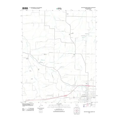
2011 Map of Mountain Grove North
USGS Topo · Published 2011About this map
Mountain Grove serves as the primary hub in this southern Missouri landscape, where the town's northern reaches give way to a network of creeks and small reservoirs. The area is defined by the branching waters of Whetstone Creek and East Whetstone Creek, which snake through the valley floors between low ridges like the Dove Mountains. This 2011 survey documents a deeply rooted rural community, preserving the locations of numerous historic burial grounds including Swede Cemetery, Hillcrest Cemetery, and Friendship Cemetery.
Find a feature on this map
71 named features on this map. Tap any name to fly to it.
Don’t see what you’re looking for? This feature index may not catch every label — zoom into the map to look around manually.
Map Details
Editions of this 2011 Mountain Grove North Map
This is the sole edition of this map. No revisions or reprints were ever made.
Other maps of this area

1931 · Manes
USGS Topo · 1:48,000

1941 · Manes
USGS Topo · 1:62,500

1941 · Bado
USGS Topo · 1:62,500

1943 · Manes
USGS Topo · 1:62,500

1943 · Bado
USGS Topo · 1:62,500

1950 · Cabool SW
USGS Topo · 1:24,000

1951 · Norwood
USGS Topo · 1:24,000

1951 · Mountain Grove South
USGS Topo · 1:24,000

1951 · Mountain Grove North
USGS Topo · 1:24,000

1951 · Cabool NW
USGS Topo · 1:24,000