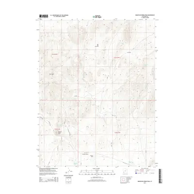
2014 Map of Mountain Spring Peak
USGS Topo · Published 2014About this map
Wah Wah Mountains terrain dominates this 2014 survey of Iron County, Utah, where high ridges like Broken Ridge overlook the wide northern reaches of the Escalante Desert. The landscape is defined by its seasonal and year-round water sources, essential for ranching and local travel, including Mountain Spring, Jensen Spring, and Prout Spgs. These watering points are connected by a network of primitive routes such as Eight Mile Rd and the Levi Wood Trl.
Find a feature on this map
25 named features on this map. Tap any name to fly to it.
Don’t see what you’re looking for? This feature index may not catch every label — zoom into the map to look around manually.
Map Details
Editions of this 2014 Mountain Spring Peak Map
This is the sole edition of this map. No revisions or reprints were ever made.
Other maps of this area

1885 · St. George
USGS Topo · 1:250,000

1891 · St. George
USGS Topo · 1:250,000

1951 · Avon NW
USGS Topo · 1:24,000

1953 · Richfield
USGS Topo · 1:250,000

1953 · Cedar City
USGS Topo · 1:250,000

1958 · Richfield
USGS Topo · 1:250,000

1958 · Cedar City
USGS Topo · 1:250,000

1962 · Cedar City
USGS Topo · 1:250,000

1971 · Observation Knoll
USGS Topo · 1:24,000
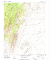
1971 · Lund
USGS Topo · 1:24,000