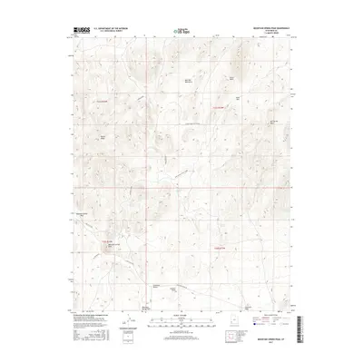
2017 Map of Mountain Spring Peak
USGS Topo · Published 2017About this map
Wah Wah Mountains and the northern edge of the Escalante Desert define the high-desert character of this Iron County landscape. This modern survey illustrates a rugged collection of ridges and peaks, most notably Mountain Spring Peak and the nearby Lookout Knoll. Water sources are critical in this arid environment, marked here by isolated points such as Mountain Spring, Fourmile Spring, and Jensen Spring, which likely served as essential stops for travelers and livestock in earlier eras.
Find a feature on this map
26 named features on this map. Tap any name to fly to it.
Don’t see what you’re looking for? This feature index may not catch every label — zoom into the map to look around manually.
Map Details
Editions of this 2017 Mountain Spring Peak Map
This is the sole edition of this map. No revisions or reprints were ever made.
Other maps of this area

1885 · St. George
USGS Topo · 1:250,000

1891 · St. George
USGS Topo · 1:250,000

1951 · Avon NW
USGS Topo · 1:24,000

1953 · Richfield
USGS Topo · 1:250,000

1953 · Cedar City
USGS Topo · 1:250,000

1958 · Richfield
USGS Topo · 1:250,000

1958 · Cedar City
USGS Topo · 1:250,000

1962 · Cedar City
USGS Topo · 1:250,000

1971 · Observation Knoll
USGS Topo · 1:24,000
1971 · Lund
USGS Topo · 1:24,000