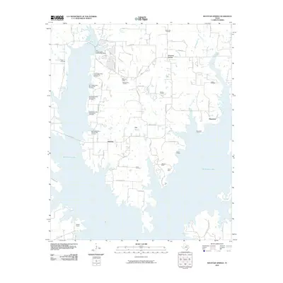
2010 Map of Mountain Springs
USGS Topo · Published 2010About this map
Ray Roberts Lake dominates the western and southern landscape of this Cooke County region, its sprawling shoreline reaching into the hills near Hemming. This 2010 survey illustrates the balance between modern recreation and the area's deep-rooted agricultural and rural character. Numerous family and community landmarks are preserved on the map, such as Tyson Cemetery and Bloomfield Cemetery, reflecting the long-standing settlement of the eastern plains.
Find a feature on this map
59 named features on this map. Tap any name to fly to it.
Don’t see what you’re looking for? This feature index may not catch every label — zoom into the map to look around manually.
Map Details
Editions of this 2010 Mountain Springs Map
This is the sole edition of this map. No revisions or reprints were ever made.
Other maps of this area

1901 · Denison
USGS Topo · 1:125,000

1902 · Gainesville
USGS Topo · 1:125,000

1943 · Gainesville
USGS Topo · 1:125,000

1954 · Sherman
USGS Topo · 1:250,000

1958 · Whitesboro
USGS Topo · 1:62,500

1958 · Sherman
USGS Topo · 1:250,000

1960 · Sanger
USGS Topo · 1:24,000

1960 · Green Valley
USGS Topo · 1:24,000

1960 · Aubrey
USGS Topo · 1:24,000

1960 · Gainesville South
USGS Topo · 1:24,000