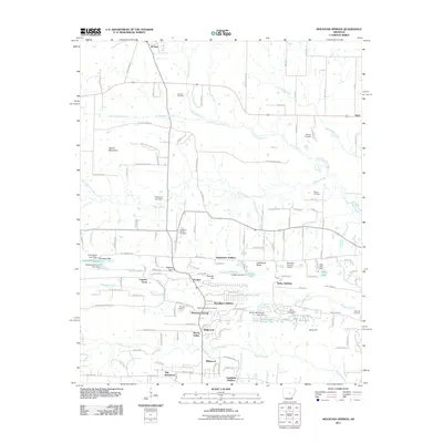
2011 Map of Mountain Springs
USGS Topo · Published 2011About this map
Mountain Springs and its surrounding residential additions define the lower half of this landscape, showing a pattern of modern residential growth north of the more established regional corridors. The map records several named additions such as Woodlawn Addition, McDermott Addition, and Bailey Addition, illustrating how the area has transitioned into a series of interconnected suburban pockets. Despite this development, the terrain remains deeply marked by its rural past and the natural drainages of the Cypress Bayou and Little Cypress Creek systems.
Find a feature on this map
136 named features on this map. Tap any name to fly to it.
Don’t see what you’re looking for? This feature index may not catch every label — zoom into the map to look around manually.
Map Details
Editions of this 2011 Mountain Springs Map
This is the sole edition of this map. No revisions or reprints were ever made.
Other maps of this area

1891 · Little Rock
USGS Topo · 1:125,000

1893 · Little Rock
USGS Topo · 1:125,000

1940 · Lonoke
USGS Topo · 1:62,500

1941 · Olmstead
USGS Topo · 1:31,680

1941 · Cabot
USGS Topo · 1:31,680

1948 · Helena
USGS Topo · 1:250,000

1949 · Lonoke
USGS Topo · 1:62,500

1950 · Helena
USGS Topo · 1:250,000

1950 · Lonoke
USGS Topo · 1:62,500

1953 · Memphis
USGS Topo · 1:250,000