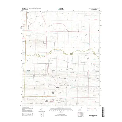
2014 Map of Mountain Springs
USGS Topo · Published 2014About this map
Mountain Springs and the surrounding farm country of Lonoke and White counties are defined by the winding course of Cypress Bayou and its numerous tributaries. This landscape is characterized by a high density of rural airfields and family cemeteries, suggesting a community where private aviation and long-standing ancestral roots are equally prominent. Small settlements like El Paso in the north and Austin in the southeast anchor a network of local roads such as Lewisburg Rd and Us-64. The terrain rises toward the north at Cadron Ridge and Round Mtn, while the southern reaches level out into the drainage basins of Fourmile Cr. Notable local landmarks include Shurley Field Airport and several historic burial grounds, including the Mtn Springs Cem and Sixteenth Section Cem, providing a detailed record of the area's residential and agricultural footprint.
Find a feature on this map
168 named features on this map. Tap any name to fly to it.
Don’t see what you’re looking for? This feature index may not catch every label — zoom into the map to look around manually.
Map Details
Editions of this 2014 Mountain Springs Map
This is the sole edition of this map. No revisions or reprints were ever made.
Other maps of this area

1891 · Little Rock
USGS Topo · 1:125,000

1893 · Little Rock
USGS Topo · 1:125,000

1940 · Lonoke
USGS Topo · 1:62,500

1941 · Olmstead
USGS Topo · 1:31,680

1941 · Cabot
USGS Topo · 1:31,680

1948 · Helena
USGS Topo · 1:250,000

1949 · Lonoke
USGS Topo · 1:62,500

1950 · Helena
USGS Topo · 1:250,000

1950 · Lonoke
USGS Topo · 1:62,500

1953 · Memphis
USGS Topo · 1:250,000